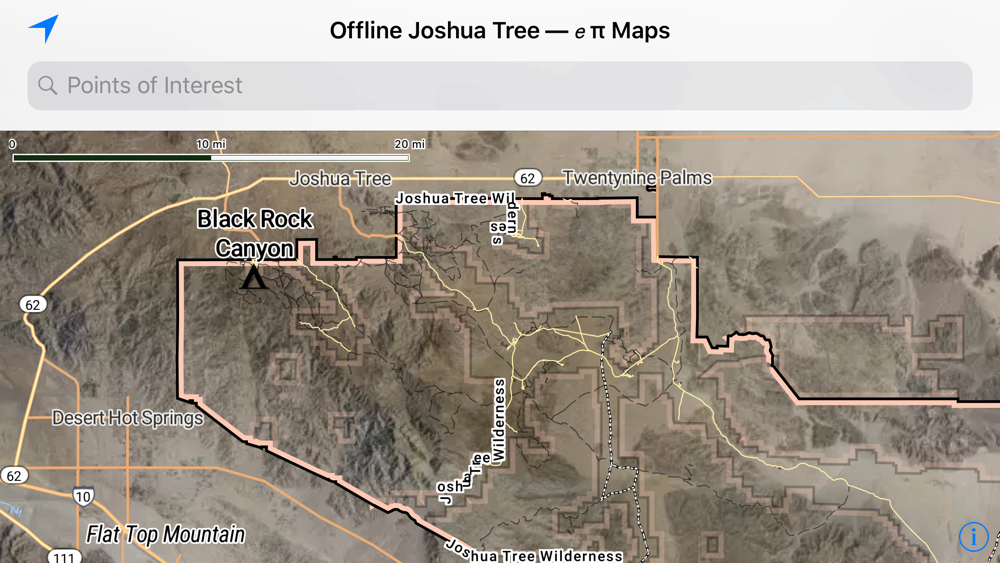
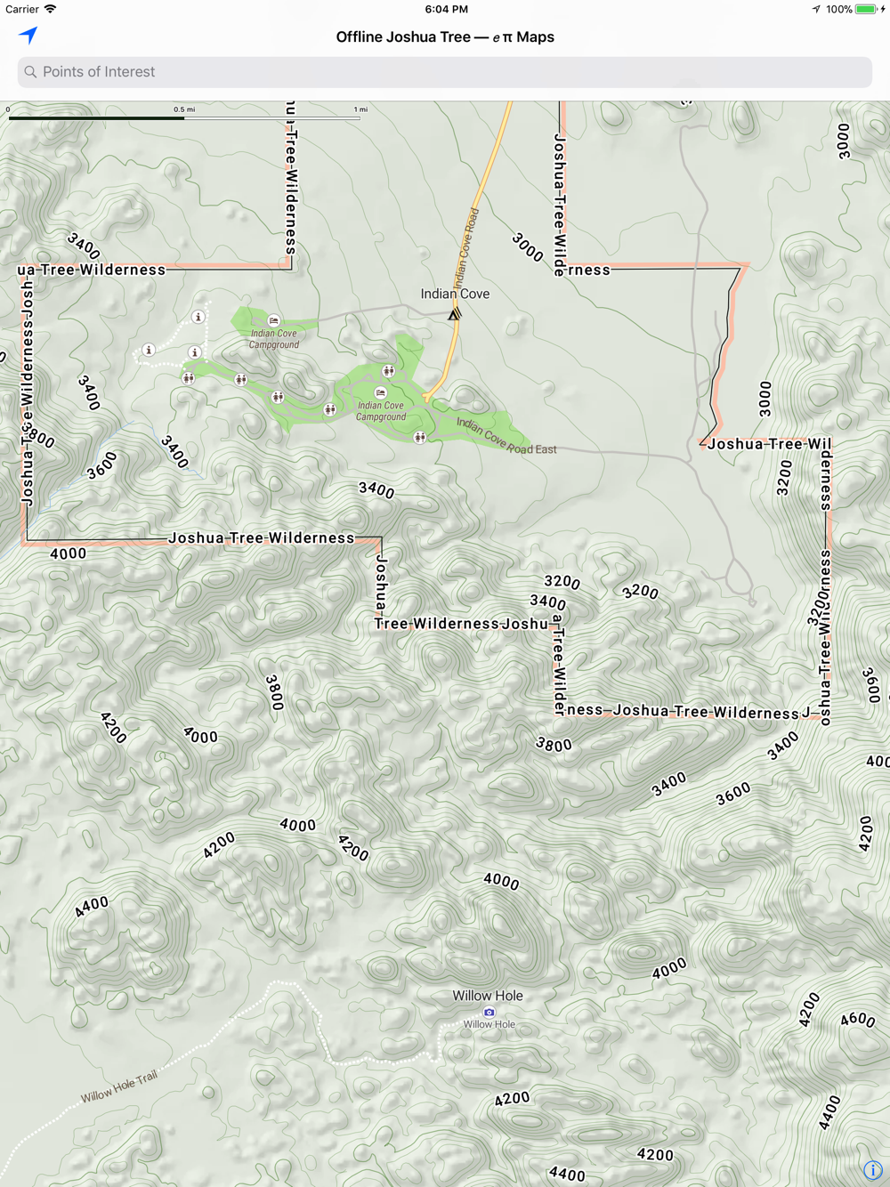
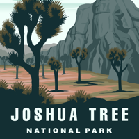
Enjoy Joshua Tree National Park with our completely Offline map.
Features
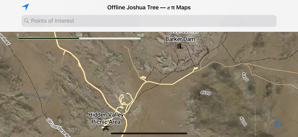
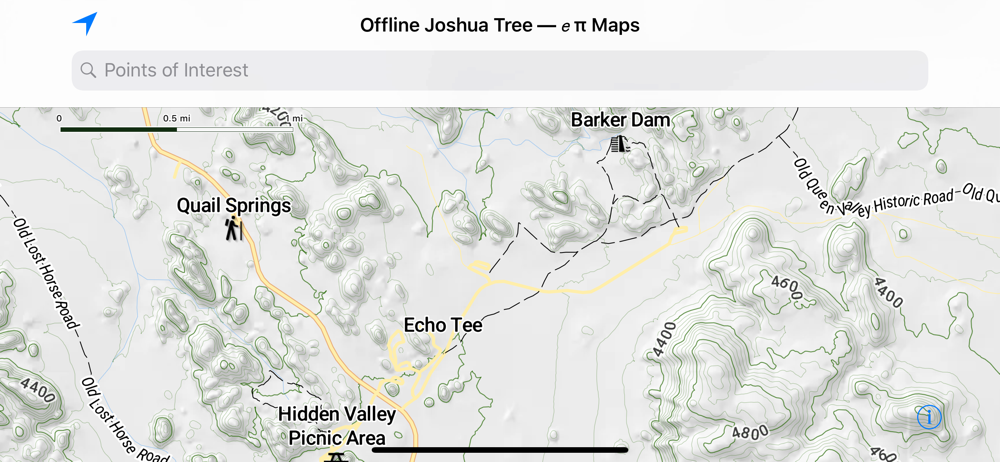
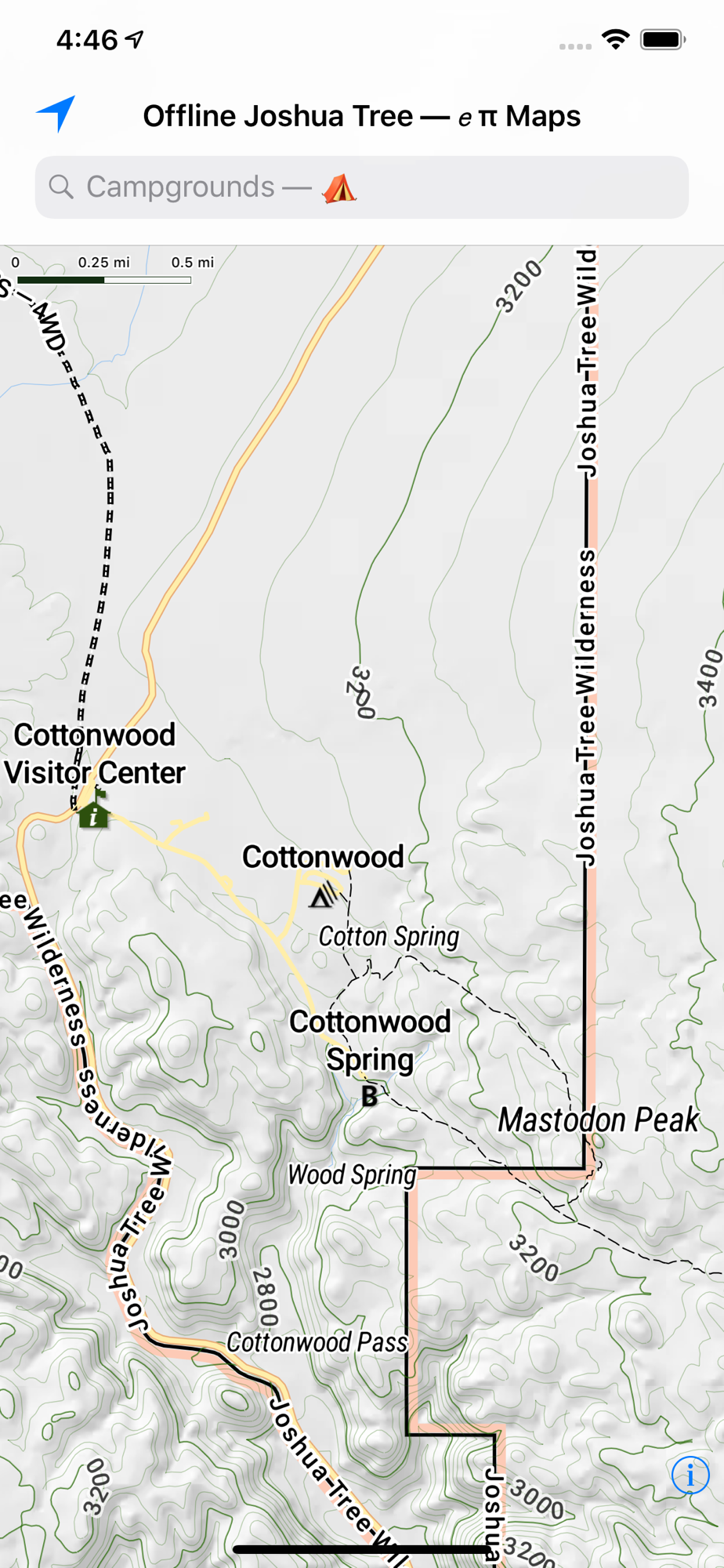
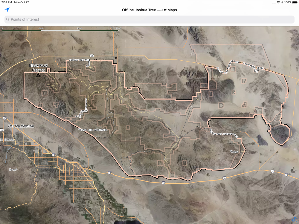
— This eπ Map is completely offline.
— After downloading the app from the Apple App Store, then all map data (satellite, trails, hill shade) is offline.
— Use your GPS to see your location on the trail.
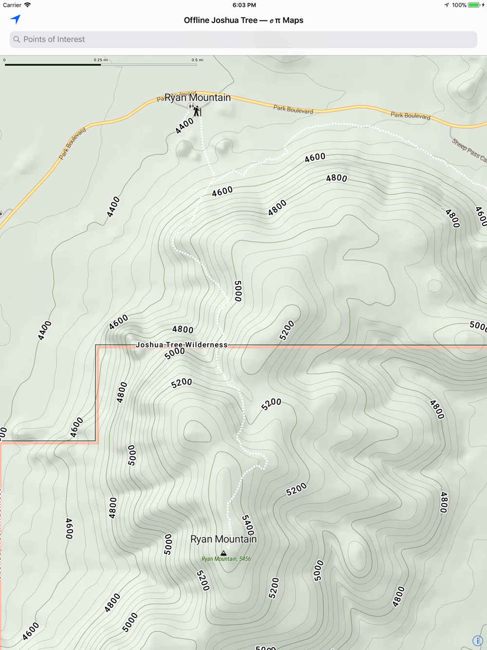
— Now with beautiful shaded relief.
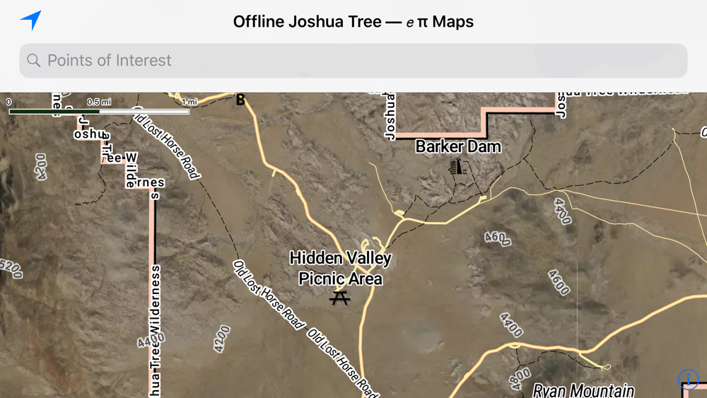
— Topographic map with 40 feet contour intervals.
— When you have service, get park alerts from NPS.gov & local weather from Weather.gov.
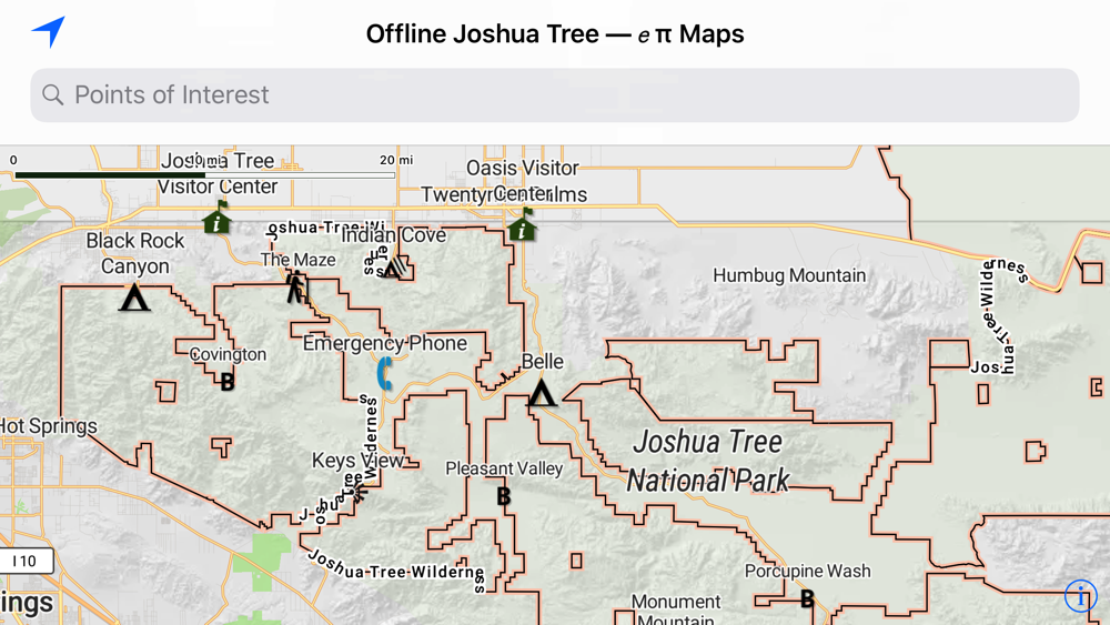
What to see in the Park
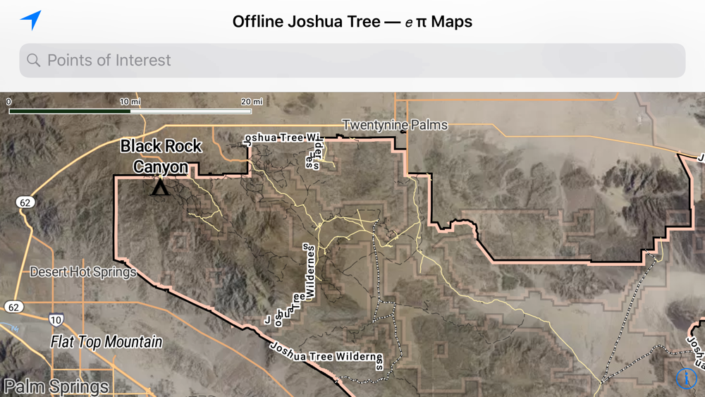
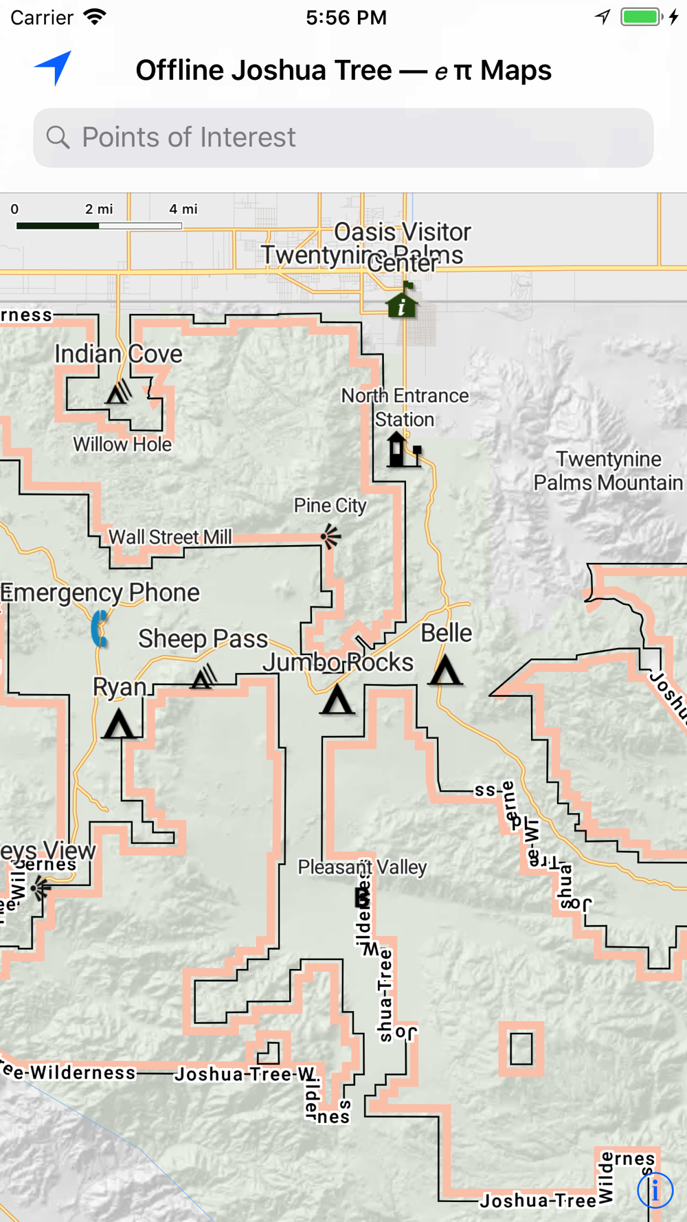
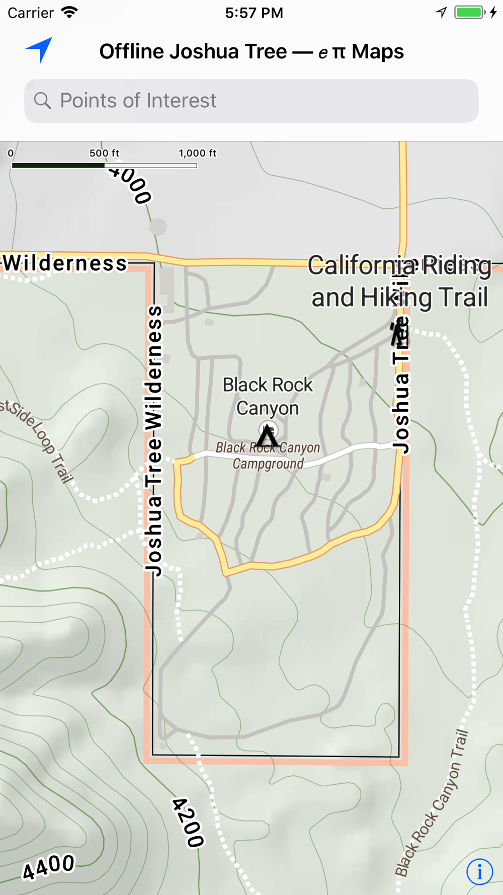
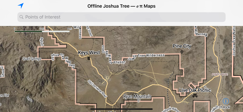
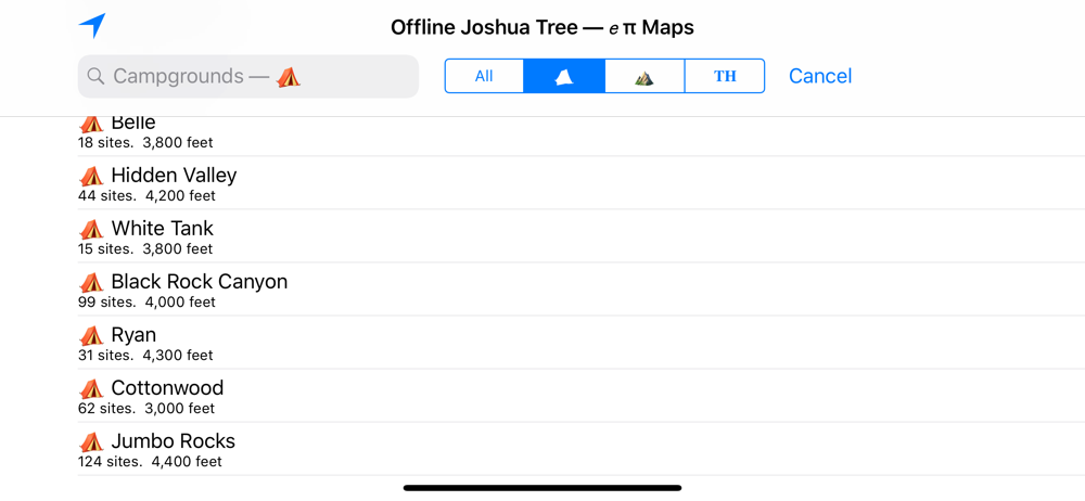
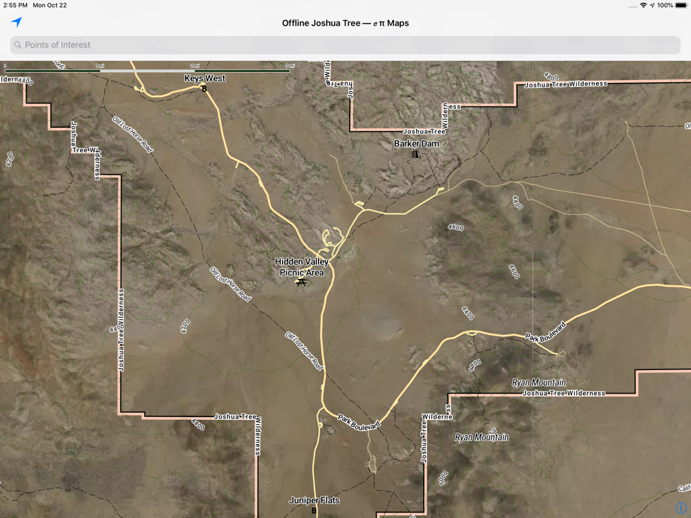
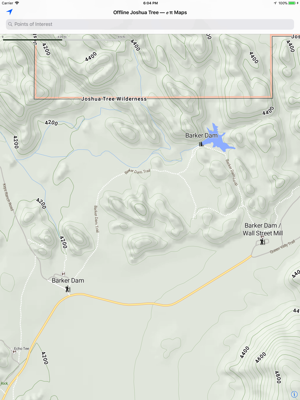
— Camping at Hidden Valley, Ryan, Sheep Pass, Black Rock, Indian Cove, Belle, White Tower, Jumbo Rocks, and Cottonwood Springs
— Hiking on trails such as the California Riding & Hiking trail, Barker Dam trail, and Geology Road Tour, Boy Scout Trail
— Wilderness boundaries in the park for the Pinto Mountains, Sheephole Valley, and Joshua Tree Wildernesses
Your trip, your privacy
— Works offline without a network
— After the initial app download from the Apple App Store, no server is necessary
— We don't track your location
— We don't have analytics in our app
— We don't care where you go, we just want you to enjoy yourself safely
eπ Maps is powered by OpenGL with vector based maps built with Open Map Tiles, and hill shaded relief raster maps built with GDAL and WebP.
Usage
— Pan to move
— Pinch to zoom
— Use two fingers to rotate
— Double-tap to zoom in one level
— Two-finger single-tap to zoom out one level
— Double-tap, long-pressing the second, then pan up and down to "quick zoom" (one hand mode)
Legal
— Publisher assumes no liability for safety or condition of roads or trails. Map is not intended for navigational use and is not represented to be correct in every aspect. Consult federal, state, and local laws for current regulations.
— This map is not a legal document. Boundaries may be generalized for this map scale. Private lands within government reservations may not be shown. Obtain permissions before entering private lands.
— © OpenMapTiles for Vector Tile processing
— © OpenStreetMap contributors
— © USGS, for Hill Shaded Relief and 40 foot contour intervals. Contours derived from the National Elevation Dataset.
— Please see the full terms and conditions at http://RobLabs.com/Legal