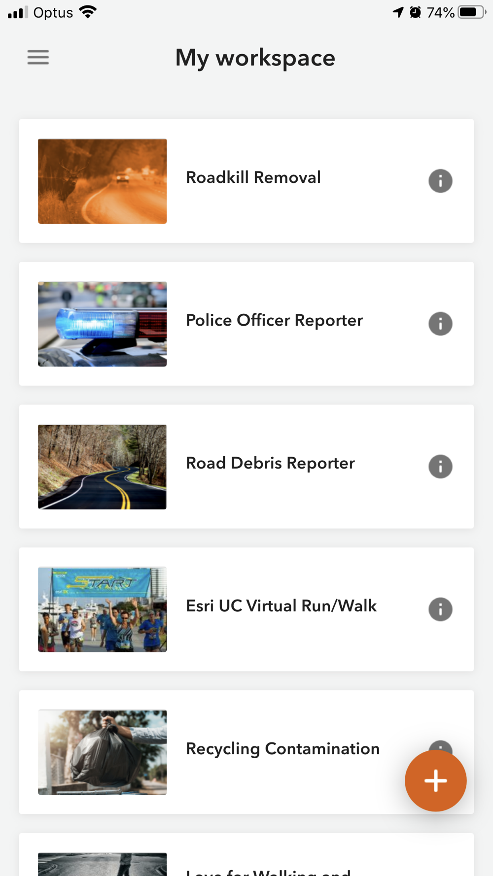
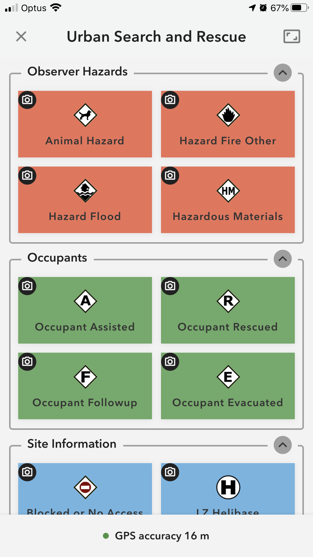
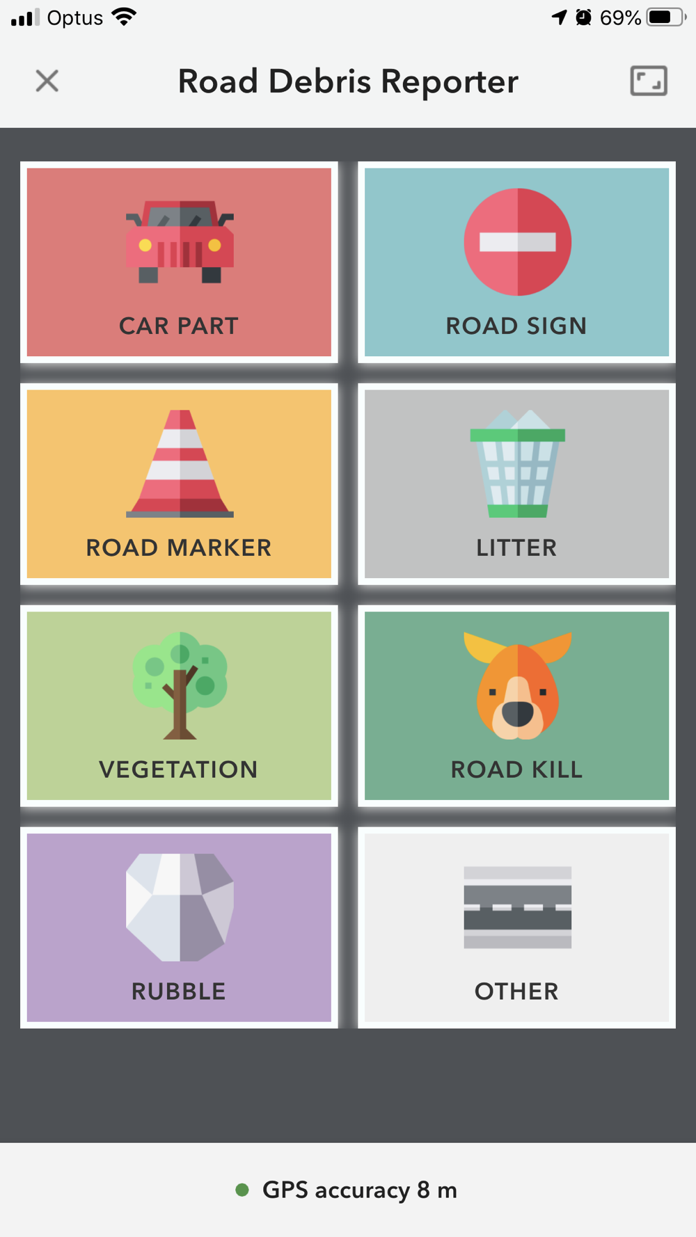
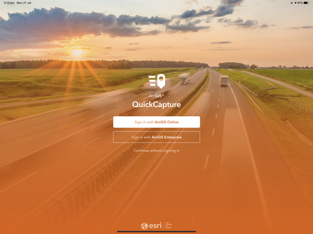
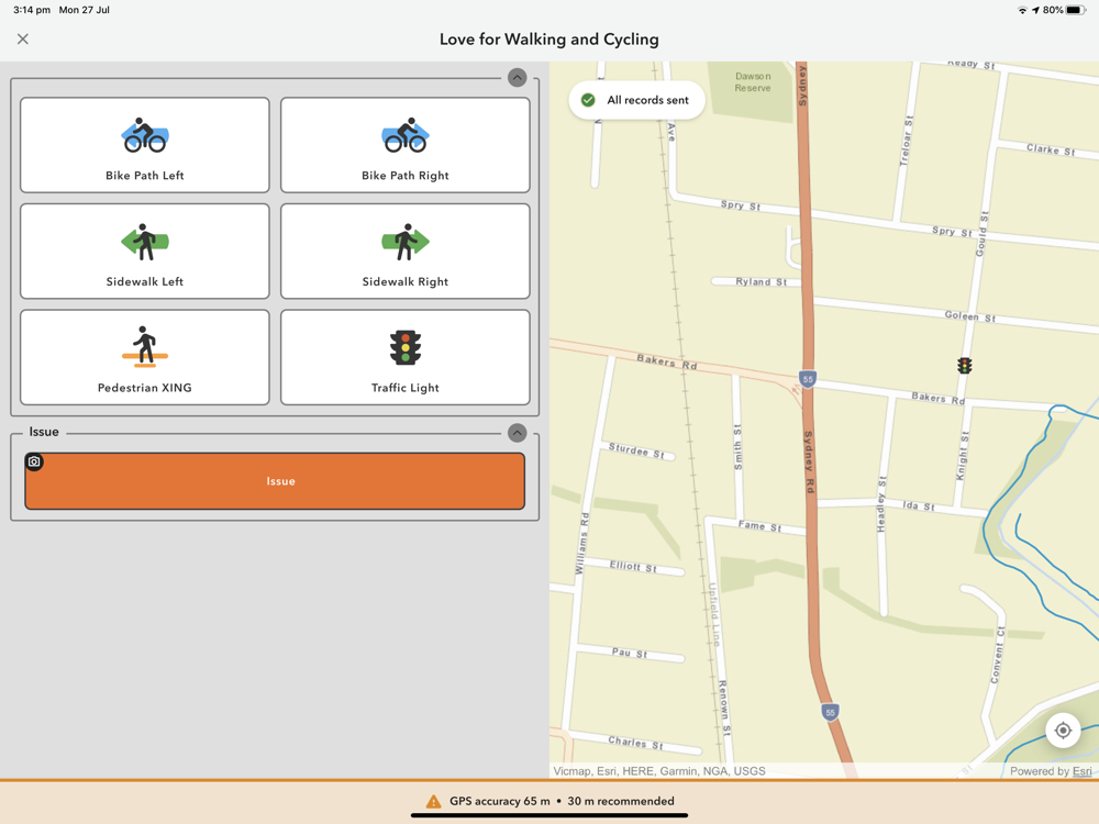
ArcGIS QuickCapture is the simplest way to capture field observations. Record GIS data with a single tap on your device. Automatically send locations, photos, and other attributes back to your office in real-time. It’s integrated with ArcGIS, you can effectively visualize data you’ve never had access to before.
Language:AR - BS - BG - CA - HR - CS - DA - NL - EN - ET - FI - FR - DE - EL - HE - HU - ID - IT - JA - KO - LV - LT - NB - PL - PT - RO - RU - SR - ZH - SK - SL - ES - SV - TH - ZH - TR - UK - VI -