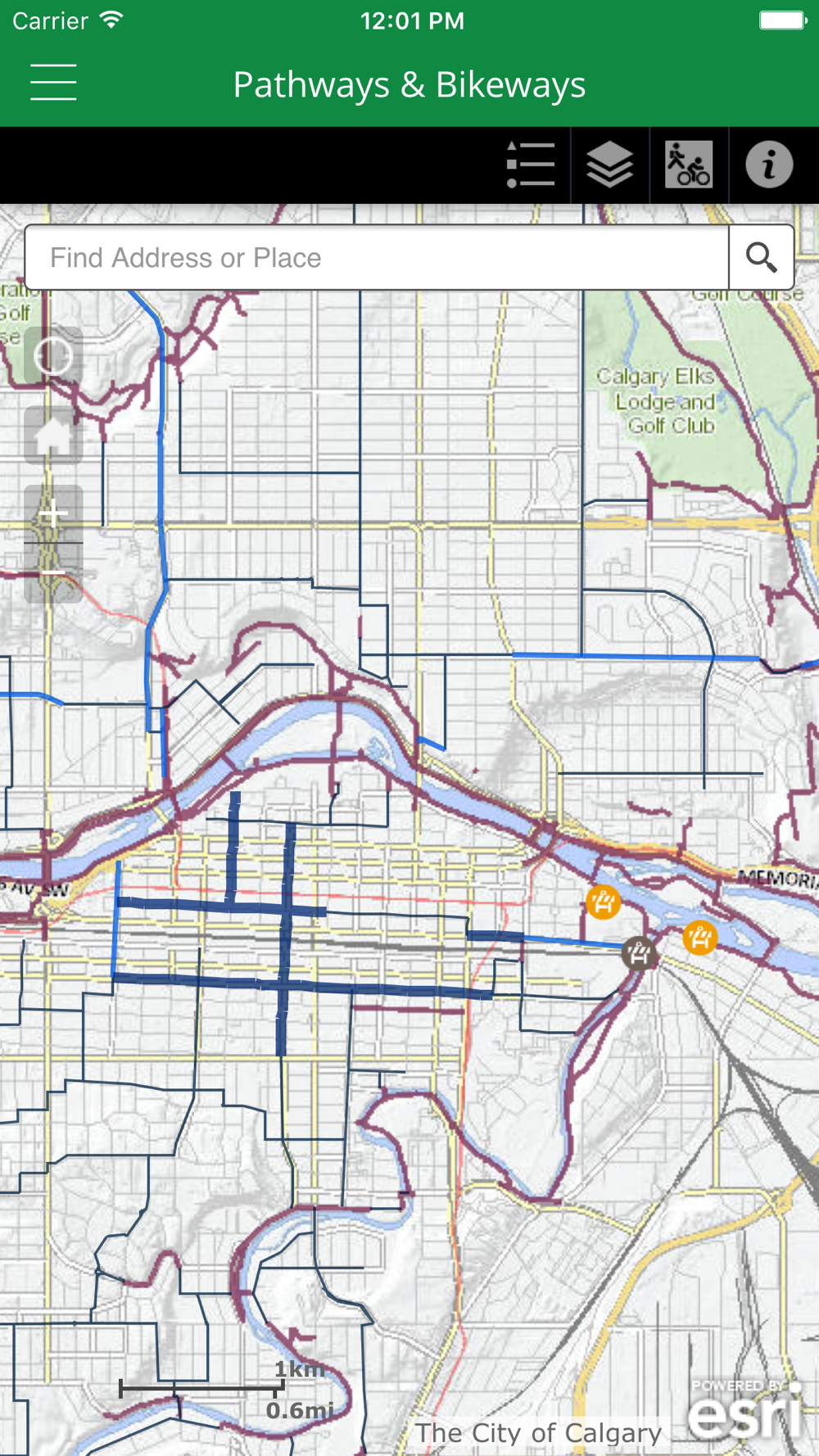
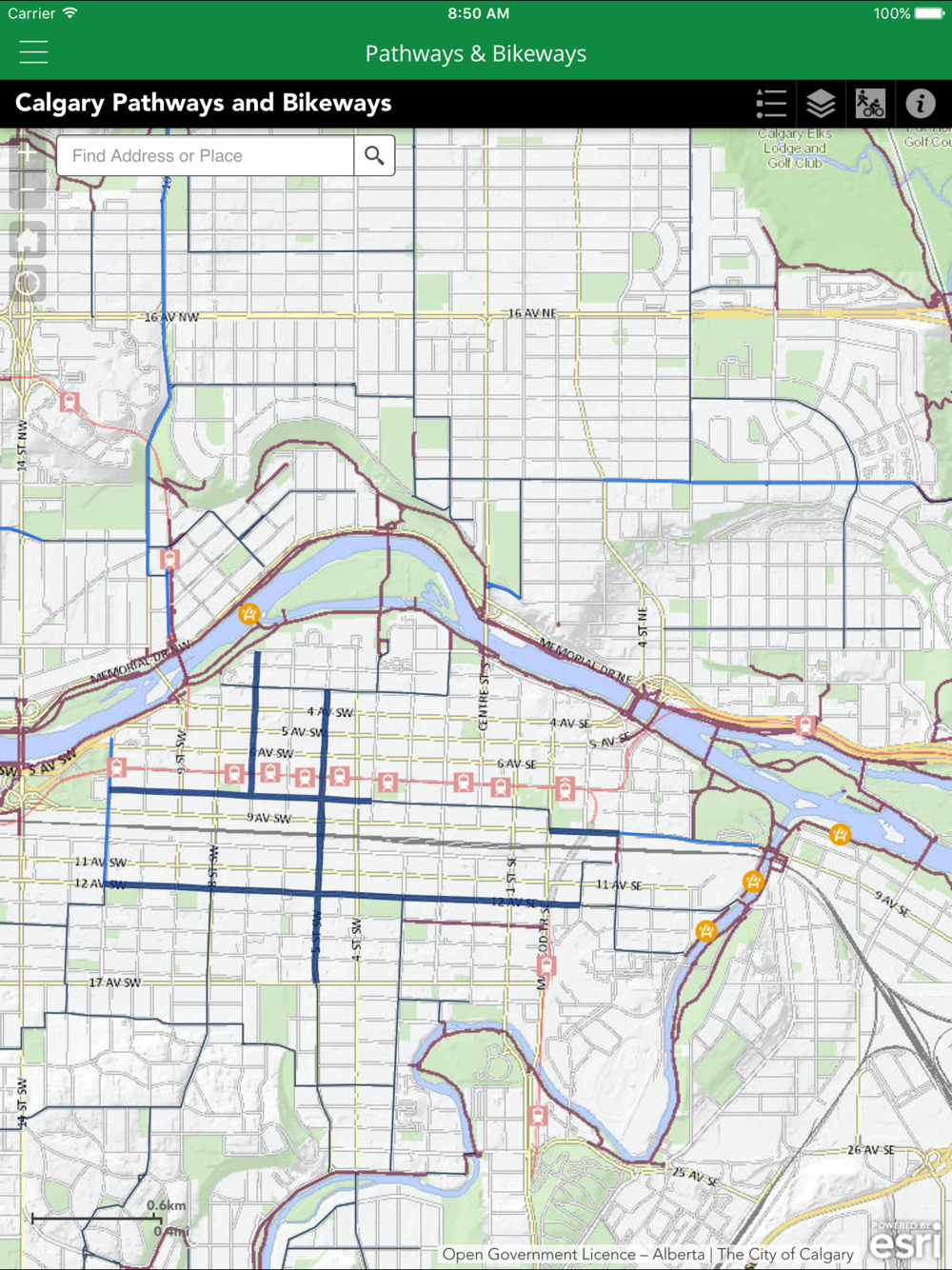
Calgary's communities, parks and natural areas are connected by an extensive network of pedestrian and cycling paths that are available for everyone to use whether you are walking, running, rollerblading or cycling. The Pathways and Bikeways mobile App is designed to provide you with a convenient way to navigate the pathway and on-street bikeway system. Whether for commuting or leisure, Calgary’s pathways and bikeways app will help you plan your next trip on our pathways and bikeways.
This app contains information on regional and local pathways; bikeways including cycle tracks, bike lanes, and shared lanes; and major routes including the Rotary/Mattamy Greenway, the Trans Canada Trail, Fish Creek Park, and the Western Irrigation District Canals. You will also find: Park ‘n’ Bike locations, Calgary Parking Authority monthly downtown bike parking, and aquatic and leisure centers. The app now includes real-time Pathway Closures and Detours, directly within the map.