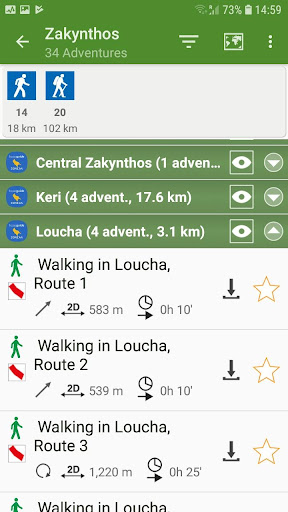
Zakynthos topoguide is a digital field guide for hikers and nature lovers visiting the island of Zakynthos (Zante). The app includes routes, descriptions and photos for 30 hiking trails on the "Flower of the East", as the poets and the travellers used to call Zakynthos.
The application offers detailed offline maps and an extensive introduction on geography, the nature and the paths of Zakynthos island, including a large chapter on the island's nature.
The app offers also a useful list of POIs with a comprehensive search engine.
The trails list includes easy and moderate hiking trails, of a total length of 150 km.
In the field, the app identifies the nearest adventure, guides you to it and then along it by displaying messages and warnings on every junction or other important location. On each Point of Interest, photos and texts are displayed on the map. If the hiker gets off-trail, the app indicates the shorter way to get back safely.
The cartographic company AnaDigit, creator of the application, has already published hiking guides for more than 50 regions of Greece (eg. Kefalonia, Crete, Zagori, Santorini, Sifnos). AnaDigir was contracted by the Municipality of Zakynthos to design the hiking routes of the island