Map Rescue
MapResgate App: Mapping Disasters for an Effective Response
Welcome to the MapResgate App, an innovative tool developed to map and record areas affected by natural disasters or catastrophic events. Our goal is to provide an effective solution for response teams and responsible bodies, facilitating quick and detailed recording of emergency situations.
Main Features
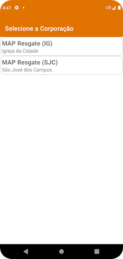
Responsible Body Accreditation: Responsible bodies can be accredited in the application, ensuring adequate access and control.
Agency User Registration: Allows responsible agencies to register users with exclusive email addresses to access the application.
Real-Time Mapping: Using the user's location, the application provides a real-time map of the region affected by the catastrophe.
Detailed Recording: By clicking "+Add", users can record detailed information about the catastrophic event, including event type, location, precise address, access conditions, occupancy type, and number of homeless people. You can also include a brief history of the actions taken by the compassionate response team.
Benefits
Rapid Response: Rapid identification and recording of areas affected by disasters.
Detailed Record: Complete view of the event, including details on type, location and impact.
Efficient Communication: Facilitates communication between response teams and responsible bodies.
Data Organization: Maintains an organized record of all catastrophic events and response actions.
Informed Decision Making: Assists in making informed decisions based on accurate, real-time information.
Collaboration: Enables collaboration between response teams in emergency situations.
Real-Time Mapping Without GPS
In situations where the user does not have access to GPS or the internet at the location of the catastrophe, the application allows registration to be carried out locally. The data is stored on the user's device and, as soon as connectivity is reestablished, the records are automatically synchronized with the central server. This functionality ensures that information is recorded even in adverse conditions, allowing response teams and responsible bodies to act even in locations without connectivity.