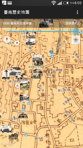
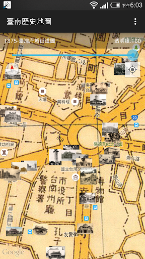
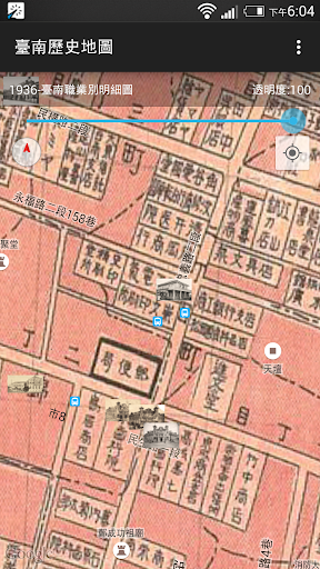
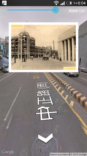
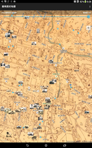
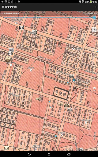
The Tainan Historical Maps gathers old maps and photos published between 1875 and 1978 and compares them to Google Maps and Street View. When a device's mobile positioning function is added in, users can compare the old and new maps and photos as they walk around, allowing them to "travel in time" and relive the elegance of old Tainan. Eleven different maps of Tainan's streets from different eras provided by the Academia Sinica Center for Geographic Information Systems (GIS) and the Research Center for Humanities and Social Sciences (RCHSS) show an area approximately within Tainan's city limits. It also contains 129 photos from the archives of the Academia Sinica Institute of Taiwan History, National Taiwan Library, and the National Taiwan University Library that include images of official buildings and street shops.
Disclaimer:
1. The maps are provided for reference purposes only; the geographic accuracy of the old maps is not guaranteed. The GIS is not responsible for any liabilities caused by the use of this app.
2. The Google Maps and Street View functions may require an Internet connection.