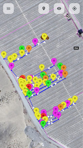
Mobile geographic information system for visualization and review of tractors. It allows you to review the status of vehicles in operation, their routes and relevant information for the user. The information can be presented on a geographic map or in an Excel-type table report.