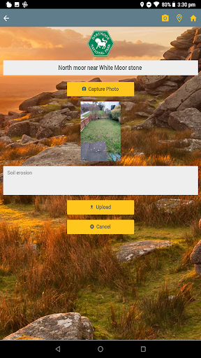
This app is used to allow visitors to Dartmoor National Park to assist the park in their management of the rights of way network by capturing time-stamped images of trail / path erosion at areas of high footfall.
The images captured by the app are used to monitor the condition of paths and allow the park’s Access & Recreation team to review changes over time.
The photos are captured at pre-determined locations within the park which are marked with information displays providing instructions on downloading and using the app.
Each information board has a unique site code indicating its location which needs to be entered into the app before recording the photo.
DISCLAIMER
(1) Information used in this app is provided by Dartmoor National Park Authority for the purposes of identifying and monitoring soil erosion sites.
(2) The supplier of this app, Arcspeed Digital Solutions Ltd do not represent Dartmoor National Park Authority or any other government or political entity. Your use of the information provided via this app is solely at your own risk.