Explore the world quickly and easily with Earth Map & GPS Explorer — your smart travel assistant that combines public webcam views, satellite imagery, and interactive map features.
Discover destinations, landmarks, and routes from the comfort of your home. Enjoy GPS-tagged photos, curated webcam feeds, and smooth map navigation.
🌟 Main Features
📸 Public Webcams & Street-Level Exploration
- View publicly available webcam footage from selected destinations
- Explore landmarks through GPS-tagged images and public feeds
- Navigate popular areas via map and street-style views
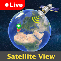
🌍 3D & Satellite Map Explorer
- Switch between 2D and immersive 3D map perspectives
- Access satellite imagery with terrain, elevation, and location layers
- Zoom, swipe, and rotate maps smoothly for better interaction
🧭 GPS Camera & Compass Tools
- Capture photos with location and timestamp info (with permission)
- Use digital compass and world time features for orientation
- Ideal for travelers, learners, and map enthusiasts
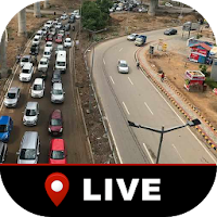
🚦 Live Traffic & AQI Data
- Stay informed with regularly updated traffic overlays
- Monitor air quality index in supported regions
🎥 360° Virtual Explorer
Take panoramic virtual tours of select global locations
Explore scenic spots from the comfort of your home
💡 Why Choose Earth Map & GPS Explorer?
✔ Explore public webcam views and popular landmarks
✔ Use GPS tools like compass and photo tagging
✔ Access real-time (or frequently updated) traffic & AQI info
✔ Easy-to-use interface with powerful map exploration features
✔ Travel the world virtually in 2D and 3D map modes
⚠️ Disclaimer:
This application is not affiliated with Google Inc., Google Maps, or any other official mapping service. All map data, imagery, and camera views are sourced from authorized and publicly available sources. Availability of certain features may vary depending on region and data providers.