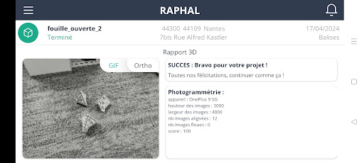
Raphal is a complete service without subscription with the aim of simplifying and making topography tools more accessible. This service allows the production of georeferenced 3D data.
The application, available on ANDROID smartphones and tablets, makes data acquisition accessible.
In RTK mode, the application will record the position of the photos to ensure centimeter georeferencing.
Once the data has been transmitted, the raphal.fr platform allows the exploitation of this data.
There are multiple services:
- Open excavation verifications
- Topographic surveys
- Additional investigations
- Valorization of heritage
The flexibility of the solution makes it possible to adapt to the specificities of various professions.
With Raphal, the measuring tool is already in your pocket!
NOTE:
The application works in the foreground (foreground_service) to carry out the user's localization tasks (only during acquisitions in RTK mode) thanks to the GPS antenna connected via Bluetooth.
The application works in the foreground (foreground_service) to send data to the server for processing: photos, location if applicable and metadata files.