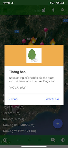
The Binh Thuan FMS application was built to provide officers of the Binh Thuan Provincial Forest Protection Department with tools to look up forest management maps. The application also provides Sentinel 2 satellite image footage and changes in Sentinel 2 satellite images so that relevant officials can have input information for verifying changes on the ground. In addition, users can also use the application to plot and take photos of new changes occurring in the field and send them to the central database.