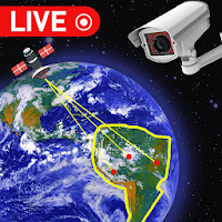
Live Earth Map: GPS Location helps you explore the world, check locations, and save memories with real GPS data. With Live Earth Map: GPS Location, you can view maps, capture photos and videos, and organize your travel moments by location.
This app combines maps, camera tools, and travel utilities in one simple place.
Main features:
GPS world map: View global locations clearly with an easy-to-use GPS map.
Earth 3D: Explore the Earth in a 3D view.
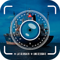
Capture photos or videos with GPS templates: Take photos or record videos with GPS details added automatically.
Edit images to add geotag: Add location information on your images.
View geotagged images by location: Browse your photos based on where they were taken.
Saved images and videos collection: Keep all captured photos and videos organized in one gallery.
Other travel and navigation tools:
Camera 360: 360-degree panorama view of famous places.
Traffic map: Check traffic conditions to plan your routes better.
Compass: Find directions easily with a built-in digital compass.
Air quality: View air quality information for different locations.
World clock: Check time zones around the world quickly.
Download Live Earth Map: GPS Location to explore places, capture memories, and manage your travel tools in one app.