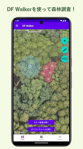
DF Walker is a smartphone/tablet application intended for use in forest field surveys. You can display ortho-images of forests overlaid on the map. We support on-site tree identification work by referring to location information obtained by GPS. The polygon creation function allows you to record tree information along with location information, and the created data (GeoJSON format) can be checked with GIS software.
■Supported functions
・Basic map function
・Acquisition of current location using GPS
・Layer display of ortho images
・Layer display of polygon files
・Polygon attribute editing function
・Draw/edit/delete new polygons
・Data download/upload
To use DF Walker, you will need to create a DF account. Please refer to the website below.
[DF WebService]
https://www.df-webservice.com/
For other details on how to use the details, see below.
[DF Walker Manual]
https://deepforestlicense.com/DFWalker/docs/usermanual.pdf