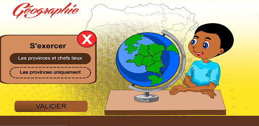
Geography dynamically presents different maps of DR Congo. Children can memorize the cards and then practice with quizzes.
Géographie offers maps of the administrative division of the DRC at different historical periods: the division of the colonial era, the division from 1963 to 2006 and the current provinces.
It is intended for children aged 8 to 11.
To play and learn by following the educational objectives:
- Read a map and use the legend.
- Know and locate the provinces and capitals of the DR Congo.
- Use digital tools.
This tool allows you to discover the lesson in a fun way and to train.
Prepare children for geo-history, download Geography!