📷 Add GPS Location & Map to Your Photos Instantly!
The GPS Map Camera: Geo Photo Tag app helps you take photos with real-time location details like latitude, longitude, full address, map overlay, date, and timestamp — all embedded on the photo.
Perfect for field work, travel memories, delivery proof, inspections, surveys, and more!
✅ Key Features:
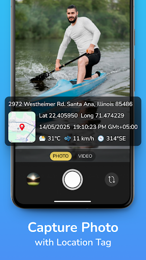
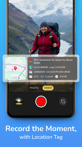
🌍 GPS Coordinates on Photos
Add real-time latitude & longitude to your images.
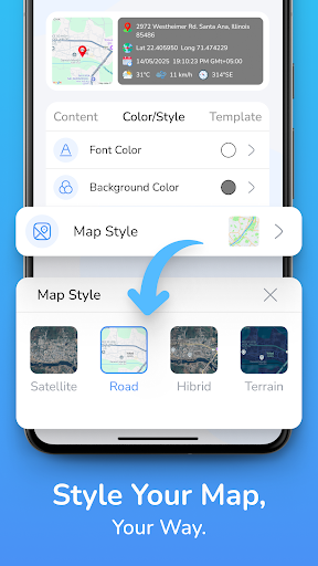
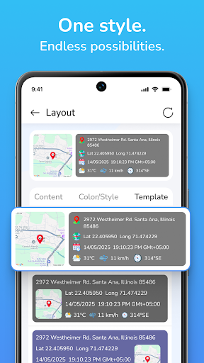
🗺️ Live Map View Overlay
Display Google Map on the photo with current location pin.
📍 Full Address Stamp
Capture street, city, state, and country name on photos.
📆 Date & Time Stamp
Show timestamp (current date & time) on captured images.
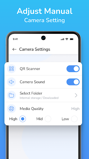
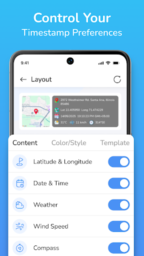
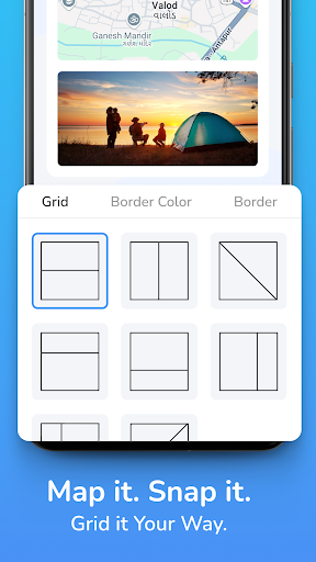
🛠️ Custom Stamp Styles
Customize font, color, position, and map type (satellite, hybrid, etc.).
📂 Photo Gallery Access
View and manage your geotagged photos easily.
🧭 Multiple Use Cases
Useful for:
Travelers & bloggers
Survey & field agents
On-site workers
Delivery proofs
Government field data collection
Construction site reporting
📸 Easy & Lightweight
User-friendly camera interface with real-time tagging.
🎯 Why Choose This App?
Real-time GPS tagging on photos
Add map location, full address & date/time
Great for photo proofs, documentation & tracking
Free, fast, and works without internet (after GPS is locked)
📥 Download GPS Map Camera: Geo Photo Tag now and capture moments with accurate location and time details. Perfect for both personal and professional use!