Michigan Trails and Recreation Alliance of Land and the Environment, commonly known as MI-TRALE, is an alliance of multiple trail and outdoor recreation enthusiasts. We created this app to share our trails and area with you!
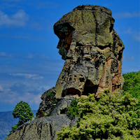
Covering Ontonagon, Houghton, Gogebic, Iron & Baraga Counties in the Western U.P. of Michigan
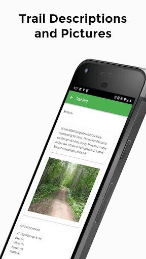
App is user friendly showing an easy to follow map marked trails, points of interest, fuel, food, lodging, camping, services, photos and more. 1000+ miles of State, Local and National Forest ATV/UTV and Multi-use routes and trails. 15 different planned ATV/UTV and Multi-use rides & loops including total mileage, sites to see, places to eat, camp, stay and visit. Water trails for kayak’s and canoeing showing water class, launch and take out sites. 25+ miles of Horse trails to follow including trailheads for parking and camping sites. 4 different Bike trails systems and miles and miles of multi-use route that share with bikes. Endless miles of hiking trails through the wilderness of the Upper Peninsula. Enjoy the Trails!!