Live GPS Area Calculator is your go-to tool for measuring land, distance, and perimeter in real-time using your phone’s GPS. Whether you're a farmer, field worker, construction manager, property agent, or just someone who needs to measure land or plot size — this app is built for simplicity and accuracy.
Measure with Real-Time GPS:
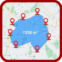
Walk or drive around any area and get precise land measurements instantly. The app uses real-time GPS tracking to calculate the total area and distance as you move.
Easy Field Area & Distance Calculation:
Tap on the map to manually draw your boundaries, or let the GPS do the work for you. Great for measuring irregular shapes or large fields.
Works with Satellite Map View:
View your property or field on satellite imagery for better accuracy when selecting points or tracking.
Perfect for:
Farmers measuring crop fields
Civil engineers and contractors
Real estate and property mapping
Outdoor sports or hiking route planners
Gardeners, fencing estimators, and more
Offline Mode & Data Saving:
No internet? No problem. Measure areas offline and save your maps for future use. Export your results in multiple formats for sharing or analysis.
Why Choose Live GPS Area Calculator?
Accurate GPS-based land measurement
Measure in acres, hectares, square meters, and more
Easy-to-use interface for all skill levels
Save, view, and manage multiple projects
Lightweight, fast, and battery-efficient