Local Levels (स्थानीय तह) is an independent reference app designed to help users explore Nepal’s administrative structure — including detailed maps and text details for 7 provinces, 77 districts, and 753 local levels (municipalities and wards).
The app is primarily offline and works without an internet connection for almost all features. However, please note that the "Map Of Federal Nepal" section requires an internet connection.
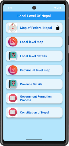
Key Features:
Province-level administrative maps and details for 7 provinces
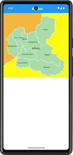
Separate district-wise maps for all 77 districts with local levels names boundaries.
Local Level Details section: detailed text-based listings of municipalities, wards.
Province-level statistics: included districts, and administrative info.
Full text of Nepal’s Constitution (Nepalko Sambidhan 2072).
Dual-language support: Nepali and English, easily switchable
90% of features work offline; internet is required only for the "Map Of Federal Nepal" section.
No real-time location tracking or GPS navigation features
Information Sources:
Ministry of Federal Affairs and General Administration (MoFAGA): https://mofaga.gov.np/
Local Governance Portal: https://www.sthaniya.gov.np/gis/
Parliament of Nepal: https://hr.parliament.gov.np/np
Law Commission Nepal (for Constitution): https://lawcommission.gov.np/content/13437/nepal-s-constitution/
⚠️ Disclaimer: Local Levels (स्थानीय तह) is an independent, unofficial reference app.
It is not affiliated with, endorsed by, or representing any government authority of Nepal.
The app collects publicly available data from official government sources listed above for informational purposes only.
No real-time location tracking, GPS, or live navigation is included in this app.
For any questions or feedback, contact us at
[email protected]