History Seeker is a modern app for history enthusiasts, explorers, archaeologists, and metal detector users. Whether you're interested in old maps, treasure hunting, field research, or discovering unknown places — this app was made for you.
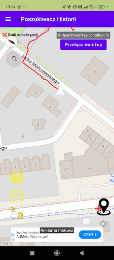
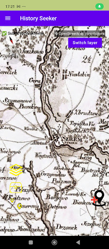
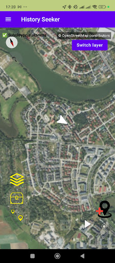
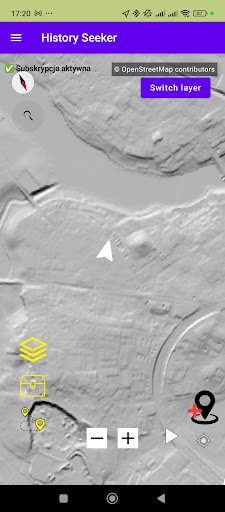
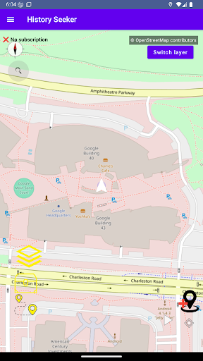
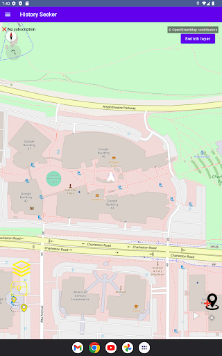
🗺️ Advanced maps for explorers
Topographic layer available worldwide
Orthophoto maps (aerial imagery) for Poland and the USA
LIDAR (high-precision terrain data) for Poland, Germany, the UK, and the USA — LIDAR for Poland may take longer to load due to data size and source
BDTO10k and forest map — unique layers available only for Poland
Support for external map sources (e.g., Geoportals) — some layers may take longer to load
Ability to pre-load maps into cache — available offline without an internet connection later
📍 Track recording and find logging
Sign in with Google
Record your own tracks in the field — saved locally and in Firebase
Add finds with descriptions, photos, categories, dates, and locations (stored only locally)
🗂️ Advanced mapping features
Overlay your own images on the map with adjustable transparency
Create search areas by drawing polygons directly on the map
Receive notifications when entering or leaving a defined area
🌐 WMS layer support
Add custom WMS sources (selected services supported)
The app currently supports WMS version 1.3.0, primarily with the WGS84/CRS84 coordinate system
Configure map layers according to your preferences
🏛️ POI and field notifications
View archaeological sites and historical battlefields
Receive notifications when approaching significant POI locations
📢 App development roadmap
History Seeker is under active development! Planned features include:
Extended WMS support (including version 1.1.1 and better compatibility with popular services)
Full offline map download capability and much more!
🔒 Find data is stored only locally, ensuring your privacy.
📶 Offline functionality allows full use without coverage — perfect for field trips.
🧭 Discover the past in a modern way — with the History Seeker app.