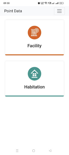
A GIS-based Rural Road Planning & Monitoring App/portal will be introduced at the state level and may use up to the Block level. Almost all the rural facilities (approximately 42000 facilities) like Education (College, ITI, HS Schools, High Schools, Girls Schools), Health (PHC, CHC, Bedded Hospital), Administrative (Block HQ, GP HQ) and other utilities (Bank, Post Office, Rural markets, Cold Storage, Mandi, Agro Industries, Bus Stop, Fuel Station, Rail Station) are already Geotagged by WBSRDA which may be used as input data for proper planning