The Landslide Inventory App is an official mobile application developed under the authority of the Bangladesh Meteorological Department (BMD) to support the systematic collection and reporting of landslide events across Bangladesh. This app empowers local communities, trained volunteers, and expert personnel (subject to the request) to document landslide occurrences using real-time data and geo-location technology.
Designed to improve landslide risk understanding and early warning capabilities, the app plays a critical role in disaster risk reduction and anticipatory action planning.
Key Features
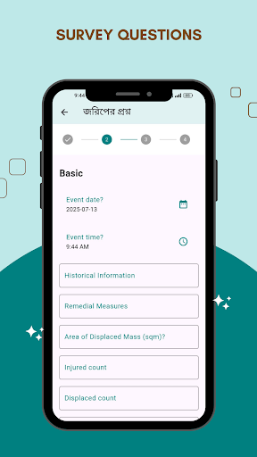
? GPS-Based Reporting: Submit landslide reports with automatic location tagging
? Real-Time Data Submission: Record the time, date, and impact of the event
? Dashboard: Informative dashboard need internet. After they have their dashboard and all data fetch. user can do further task.
? Photo Upload: Capture and upload images of landslide sites
? Secure Data Handling: All data is handled responsibly and used for research, planning, and early warning
Who Can Use This App?
The app is intended for the community level users including but not limited to trained community members, local disaster officials, and field personnel operating in landslide-prone regions.
Why It Matters
Collected data feeds into a centralized landslide inventory system that strengthens Bangladesh’s capacity for landslide reporting and early warning mechanisms.
Owned by: BMD (Bangladesh Meteorological Department
Developed by: RIMES (Regional Integrated Multi-Hazard Early Warning System)
Supported by: Save the Children
Funded by: GFFO & ECHO-HIP
Technical Support: Landslide Early Warning System Technical Working Group (LEWS-TWG)