Khaya – Property Data from a Photo
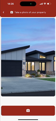
Khaya is a technology demo that showcases how rich geospatial data can be delivered instantly from a single photo of a property.
Just take a picture of a building, and Khaya returns key insights — from address and coordinates to municipal data, property identifiers, and spatial metadata.
What you’ll get:
- GPS coordinates and map data
- Street address and suburb details
- Municipality, province, and region info
- Property keys and geospatial positioning
- Building distance and spatial accuracy
- And more
Ideal for real estate, insurance, environmental monitoring, or anyone exploring geospatial tech.
Have an idea or want to build with this technology?
We’d love to hear from you.