A land survey is a drawing that shows exactly where the boundaries of a property are. A survey will also lay out the dimensions and location of any buildings or other site improvements on the property.
We all are always very concern about our land and property papers, we can’t keep our property papers or proofs of lands all the time so here we are providing you the best app with best features LAND survey APP.
The application contains the information of topographic and real distances between points, their angles, the perimeter and the surface area, azimuth and zenithal angles and related errors.
With the help of this amazing app you will get the best service. In this land records App every single information is given in easy languages so that everyone can understand that easily. You will get all the information related to your land or property.
New Added point of interest, or POI, this app used to save and share specific point location that someone may find useful or interesting.
In the copy of the land record available online, you will get many other details about the land including the name of the land holder, area, account number, land classifications, village, name of the state.
This application lets user know the survey number of his/her current location within India.
Land survey has the following features:
⦁ N-points calculation (max 1000).
⦁ Unit setting.
⦁ Datum converting to more than 700 datum’s valid worldwide.
⦁ Manual insertion of point coordinates.
⦁ Inserting a point with one click directly on the map.
⦁ Saving and restoring project data in memory, Google drive, OneDrive, Dropbox.
⦁ Enable / disable GPS for far projects.
⦁ Data calculation with WGS84 Datum.
⦁ Information of elliptic coordinates, UTM coordinates, optometric height, distances, angles, perimeter, area, azimuthal angles, real distances, zenith angles.
⦁ Graphic altimeter for every segment.
⦁ Send data by mail.
⦁ GPS location capture
⦁ Collect data with real-time location and check all the data points on the map in the web dashboard. You can also bookmark a property location for ease of use.
Do you know the area that you are planning to buy may be government property? Get the details of the survey number, area under the survey number, place name, village name, district name of the property with the help of this land survey Application.
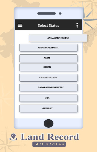
The application makes use of GPS functionality available in the device for giving the location information i.e., latitude and longitude. In this Full featured application we has property information for every state. Just search your state name and search the information that you want to know and done.
To watch your land details you just have to write your name there after that you have to go with the process which is given step by step easily. You can check your property information by using your name only.
Simple to use on your smartphone or tablet, just hover over a property and this property survey displays the property’s owner, address, boundaries, parcel ID, sale price, school district and more. Within the intuitive interface, there is the ability to drop a pin to save the property, add notes by property, and export your saved properties - even when not connected to a network using offline mode.
THANK YOU..