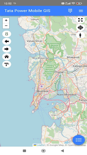
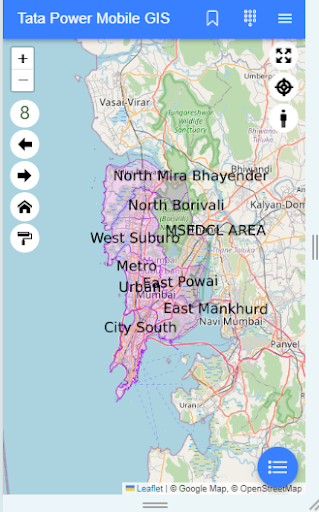
TPCL Mobile GIS is a field utility app designed to help TPCL personnel access and manage the electrical network through an interactive map interface.
This mobile application provides real-time access to GIS (Geographic Information System) data, enabling field users to easily view electrical assets, plan fieldwork, and complete daily operations efficiently.
Key Features:
• View electrical network assets on an interactive map
• Search and locate poles, transformers, and other infrastructure
• Manage tickets and service requests
• Receive and track work order assignments
• Perform GIS-based field operations
TPCL Mobile GIS enhances field efficiency by bringing essential mapping tools and asset data directly to users’ mobile devices.