Introducing Digitrak - the ultimate traceability and data collection tool for agronomists. Collect and store the information you need from your assets in the field, even while offline. With easy-to-use features and seamless integration with Sustainimap, Digitrak is the perfect companion for any agronomist looking to streamline their workflow.
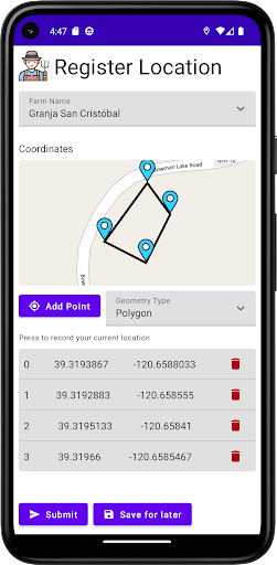
With our geospatial capture tool, you can record locations and field boundaries in the app and submit them for monitoring against one of our sustainability and crop health products on Sustainimap. With Digitrak, you have the power of Sustainimap’s earth observation suite at your fingertips.
OFFLINE DATA COLLECTION
Collect data offline when you don’t have an internet connection
Automatically sync your data to the cloud when you're back online.
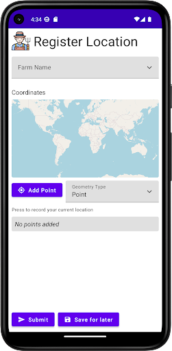
GEOLOCATION
Map your asset locations and boundaries
Submit your data to Sustainimap
Run powerful geospatial analytics across your supply chain
TRACEABILITY
Track your produce through the supply chain starting from the field
Create custom data fields to track the information that’s most important to you
Whether you're working in the field or in the office, Digitrak makes it easy to stay organized and on top of your data. Download now and take the first step towards accurate, transparent and traceable data collection.
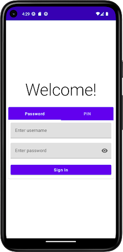
Please note that a login to Sustainimap is required to use Digitrak.