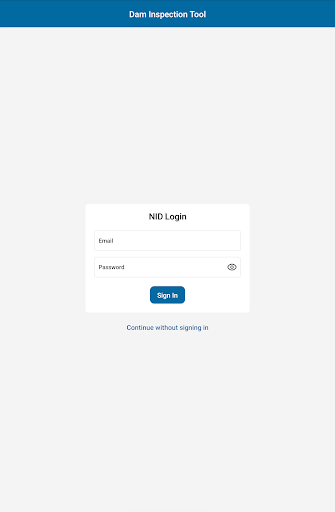
The Dam Inspection Tool (DIT) is a comprehensive data collection tool for the United States Army Corps of Engineers (USACE) and its affiliates to conduct dam inspections throughout the nation. The tool assists inspectors with the processes of conducting inspections, collecting observations, and documenting hazardous conditions. The data collected is then synced to the National Inventory of Dams, which can be seen here https://nid.sec.usace.army.mil/#/, where it can then be analyzed, monitored, and used to generate reports and maps (available to authenticated users only).
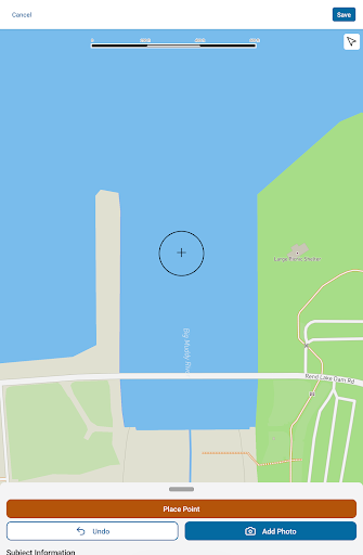
There are thousands of dams that can be used within the DIT. Each dam will have varying geospatial information that can then be seen on the built in map. Depending on the desired dam and logged in state, some will have varying levels of data, which users can visualize via the map.
While conducting inspections in the DIT, the app will display this information in the headers so you can easily distinguish which inspection/dam you are working on.