XXII LORA is a platform that integrates, converts and deploys 3D maps in order to improve operational performance.
XXII LORA is compatible with most high precision GNSS receivers, allowing you to visualize your GIS data in mixed reality with centimeter precision.
Increase the diagnosis of your environment with real-time holographic visualization of your buried assets: valves, cables, pipes or others.
Key features:
- Force Calibration: the system retrieves the user's geolocation information while sending the North back to your HoloLens headset.
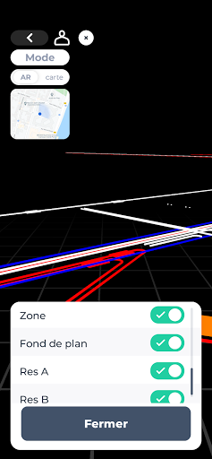
- Real-time visualization: the data projection synchronizes with the real environment.
- Consulting network information.
You must have a XXII LORA account in order to use the application.