Saxony-Anhalt offers the photo app LaFIS®-GEOFOTO to support farms that apply for area or animal-related agricultural subsidies. The app makes it possible to create georeferenced photos of agricultural parcels, the crops cultivated and agricultural activities and submit them directly to the responsible Office for Agriculture and Land Consolidation and Forestry (ALFF). The geographical coordinates of the photo are saved and the photos are thus clearly assigned to the operational parcels. The photos serve as proof of fulfilled conditions, obligations and other requirements.
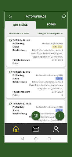
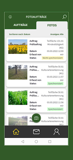
If the satellite area surveillance does not produce a clear result, you will receive a photo order on your smartphone. This photo order initially refers to proof of a cultivated crop or proof of agricultural activity or minimum activity on grassland or fallow land. All you have to do then is take and upload photos of the specific parcel as proof. You can also assign and submit previous photos taken with the app to such a photo order. LaFIS®-GEOFOTO can also navigate you to the parcel.
If photo orders are processed and corresponding photos are submitted via LaFIS®-GEOFOTO, these photos are evaluated by the responsible ALFF in Saxony-Anhalt. If the photos submitted are informative, discrepancies can be clarified and application requirements can be proven. In many cases, an on-site inspection by the ALFF is then no longer necessary. This saves you a lot of time!
The use of the app and the processing of possible photo orders is voluntary.
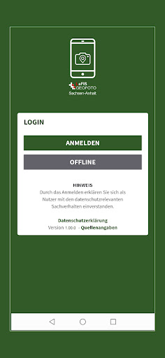
Authentication in the app takes place in the same way as in the Profil Inet application program using the company number (BNRZD) and the PIN for the HIT/ZID database.
Detailed information on the functionality and operation of the app as well as further information on LaFIS®-GEOFOTO can be found on the website of the Ministry of Economics, Tourism, Agriculture and Forestry of the State of Saxony-Anhalt at: www.elaisa.sachsen-anhalt.de/.