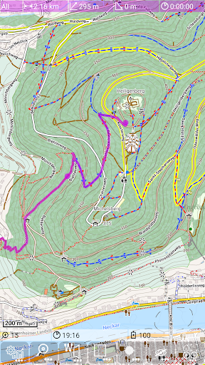
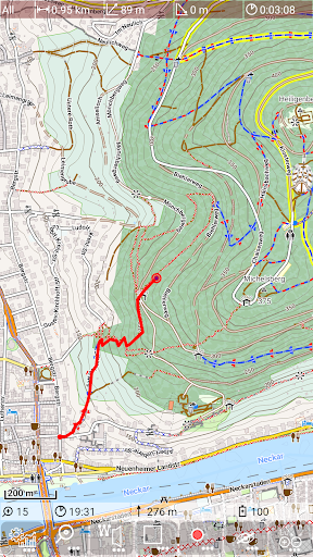
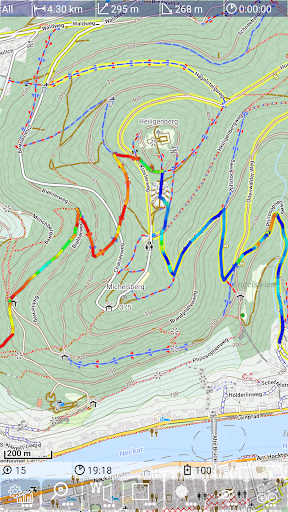
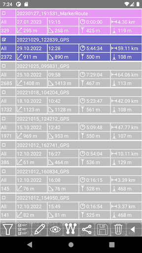
This map viewer works with offline maps, so it is perfect even with no mobile data access, especially for biking and hiking. For planning it offers simple routing, track recording (with barometer base height data, if available), track visualisation as well as easy sharing of tracks.
For more information check https://mg4gh.github.io/MGMapViewer/