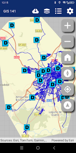
The GIS application allows you to view farm maps so that users can pinpoint where a fault is located. It works integrated with the DROP app: the user can access the GIS app to exactly locate the fault on the map and select the affected element. Once the selection is made, this information automatically returns to DROP to continue managing the incident. The application can also be used independently, although with limited functionality as it is not connected to DROP.