GPS Map Camera is a camera app that allows you to add a timestamp, your location, GPS coordinates, a map, and weather details to your photos and videos. Capture special moments with information about where each picture was taken.??
Want to remember your travel experiences or find photos from a specific place? With GPS Map Camera, you can add the date, time, live map, latitude, longitude, weather, compass, altitude, and more to your pictures.
Want to remember your travel experiences or find photos from a specific place? With GPS Map Camera, you can add the date, time, live map, latitude, longitude, weather, compass, altitude, and more to your pictures.
? GPS Camera & Location Tagging – Capture & Save Your Memories
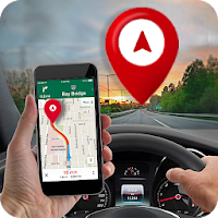
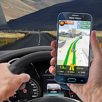
Easily tag your photos with GPS coordinates, time, and location details. GPS Tracking Map lets you add real-time location stamps. It's great for travelers, professionals, and outdoor enthusiasts.
? Key Features:
? Auto Geotagging – Add GPS location, latitude, longitude, and altitude to photos.
? Date & Time Stamp – Add real-time date and time to images with custom formats.
?️ Detailed GPS Info – Attach full address, coordinates, and live maps for accurate documentation.
? Perfect for Outdoor & Professional Use – Great for travel logs, research, fieldwork, and real estate.
? Share with Ease – Send GPS-stamped photos to social media, family, or work.
? Who Can Use It?
✔ Travelers – Keep a detailed record of your trips with geotagged photos.
✔ Professionals – Capture location-stamped images for work, research, or documentation.
✔ Adventurers – Save and share outdoor experiences with precise location details.
Try these amazing features today! Download the GPS Map Camera now and capture every moment with accurate location details.
✨ Don’t forget to rate & review! ✨