It is an innovative service, developed during the EXTREMES project and supported both by modern equipment (weather radar, dense network of agrometeorological stations, drones) and data already available to the company, and by autonomy in the matter of local forecasts and suitably qualified personnel.
Environmental hazards and disasters
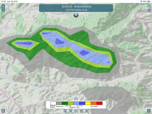
With the EXTREMES program, methodologies are operationally developed and implemented in the three-fold forecasting (before), monitoring (during), assessment and confirmation (after) for extreme weather events
Specialized technical knowledge and experience
In the EXTREMES project, the participating agencies combine their expertise in remote sensing (weather radar, satellites, SmeEA), agroclimatology, weather modification and prevention-protection from extreme natural phenomena, in the development of integrated information systems but also in the fields of Environmental Studies, Geoinformatics and Topography.
Decision Support System
The final SYA is a "tool" for decision support and strategy at the level of producer groups, associations, companies, local governments and Regions for damage assessment and response, as well as eventual adaptation of crops with the ultimate goal of optimizing production and the best added value.
Objectives of the project
The innovative elements of the project are also its goals and include:
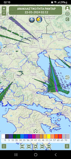
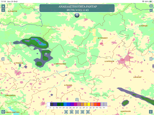
(1) modern digital technology using weather radar and new high resolution satellite data
(2) modern methods of processing and analysis, leading to reliable short-term predictions of extreme phenomena,
(3) modern terrestrial wireless sensor networks, which contribute, together with satellite ones, to a more accurate estimation of the spatial variability of the parameters,
(4) modern geoinformation systems,
(5) high-resolution spatial simulation methodologies in the land, water, atmosphere system;
(6) automatic notification of interested parties through online means for the use of measures to reduce the environmental footprint of agriculture,
(7) technological upgrading of applied policies with the aim of modern intergovernmentalism,
(8) the project is expected to lead to the production of cutting-edge knowledge and a basis for the further application of modern digital technologies in Greek agriculture