The application is being developed for the needs of a project for the Municipality of Gdańsk
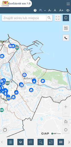
The application presents spatial data of the Gdańsk Commune
The application has basic functionalities enabling viewing shared spatial data:
● Basic navigation tools in the map window;
● Using the GPS signal to determine the user's current location;
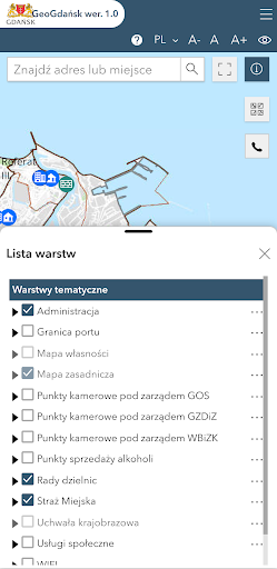
● Adding external WMS services;
● Search for addresses and plots;
● Length and area measurements on the map;
● Sending a link to the current map area;
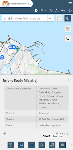
● Identification of objects on the map.
● Changing map backgrounds;
● Changing the language;
Recommendations and tips:
● You will need an internet connection to download the map.
● Enable location services in your phone settings for the app to work properly.