The UDISE+ GIS & Image Capture Mobile Application is used for the collection of school locations and images of all the schools registered in UDISE+ nationwide. The mobile app is deployed as a UDISE+ ecosystem application and is based on the schools registered on UDISE+.
The primary goal of this application is to collect accurate GIS location and images of schools. These will benefit the government and public in various ways, like navigation and identification of schools through various utility applications.
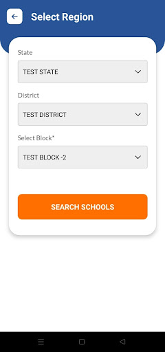
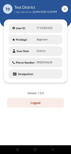
The mobile application is to be used by various stakeholders of the school education system in countries like schools and block/district/state education administration. The registered users of the UDISE+ application can log in to the mobile application. So a separate user registration process is not followed.
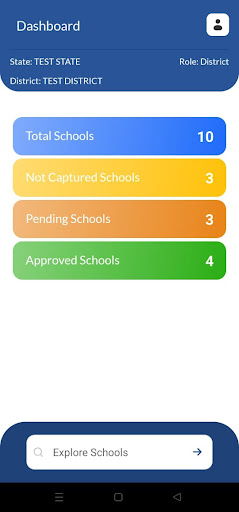
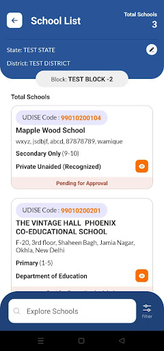
The location and images are to be captured by school users/block users and then approved by district-level users. The approved GIS location and images are then published for display to state and national-level officials and used for other utilities.