MSTRIPES is an innovative mobile application designed to revolutionize ecological monitoring and environmental conservation through accessible, technology-enabled data collection. By bridging the gap between professional scientists and citizen volunteers, MSTRIPES creates a comprehensive platform for tracking environmental health, biodiversity patterns, and ecosystem dynamics across diverse geographic regions.
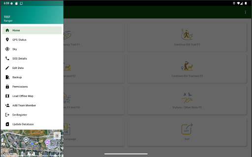
Core Functionality and Features
The application provides users with intuitive tools for documenting ecological observations in real-time. Field researchers and volunteer contributors can record detailed information about species sightings, including identification data, behavioral observations, and population estimates. The app supports systematic habitat assessments, allowing users to evaluate vegetation structure, soil conditions, water quality, and other critical environmental parameters that indicate ecosystem health.
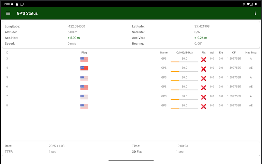
One of MSTRIPES' distinguishing features is its GPS-tagging capability, which automatically geolocates observations, creating spatially-referenced datasets that are invaluable for understanding ecological patterns across landscapes. Users can attach photographs and multimedia content to their entries, providing visual documentation that enhances data quality and enables remote verification by experts.
Data Management and Integration
MSTRIPES utilizes cloud-based infrastructure to aggregate data from multiple contributors into centralized databases. This approach ensures data consistency while maintaining security and accessibility. The platform includes quality control mechanisms that help validate submissions and flag potential data anomalies, ensuring that the ecological information meets scientific standards required for rigorous analysis.