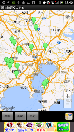
Let's go see the dam! "DamNavi" is an application that covers data such as water system, river name, type, purpose, size, total water storage volume, operator, completion year, etc. for approximately 3000 dams throughout Japan. In addition to sorting functions such as by prefecture, type, and water storage volume, the location information of all dams is recorded and can be displayed on a map. It also has a function to search and display dams near your current location. It is also linked with a route navigation function that supports driving trips and touring trips, so you can easily visit and tour the dam. In addition, it contains information on the distribution of the topical Ministry of Land, Infrastructure, Transport and Tourism "Dum Card". * Dam card information is based on the data of the Ministry of Land, Infrastructure, Transport and Tourism as of October 1, 2016.
You can send the location to the car navigation system using Denso's NaviCon app.