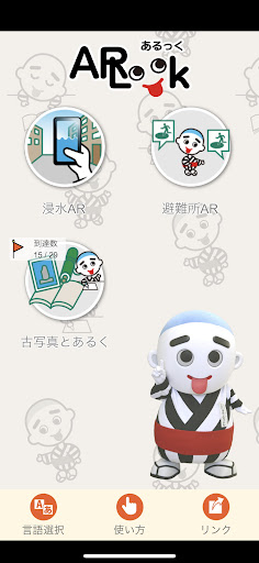
Yokkaichi City's official AR disaster prevention learning app "ARLook" is displayed by AR (Augmented Reality) technology by holding a camera such as a smartphone and "walking" and "seeing" the area. It is an application that allows you to see the inundation depth of the evacuation center and your current location.
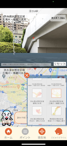
● Function 1: Flooded AR
Select the type of hazard (disaster risk) and hold the camera around, and the estimated inundation depth of your current location will be displayed in AR.
● Function 2: Evacuation center AR
The evacuation shelter name, icon, and distance to the evacuation shelter are displayed in the direction of the evacuation shelter.
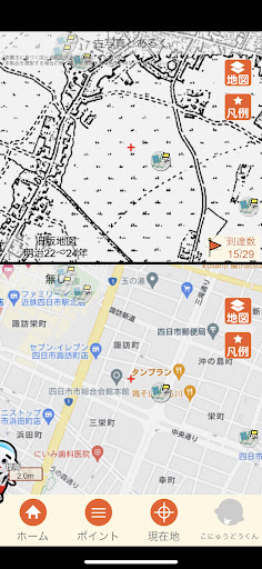
● Function 3: Old photos
The photos of the old cityscape of Yokkaichi city registered according to the shooting point will be displayed. (* The registered points on the map indicate the approximate location where the photo was taken.)
* This app uses the GPS function of the terminal to acquire location information.
・ When operating the app, check the safety of the surrounding area, and then stop and operate.
-Depending on the terminal and the surrounding environment, the displayed AR content may have an error.
・ This system contains errors in map and data creation. For details, please check the hazard map or the section in charge of the city.