# Facility Purpose
○ Water supply (558 million ㎥/year) by securing water resources (fresh water)
○ Flood control in the upper reaches of the Geumgang River and prevention of flooding and salt damage along the downstream coast (7,100 ha)
○ Improvement of land transport between Gunsan ⇔ Janghang (shortened by 110km)
#Geumgang Water Level Operation Status
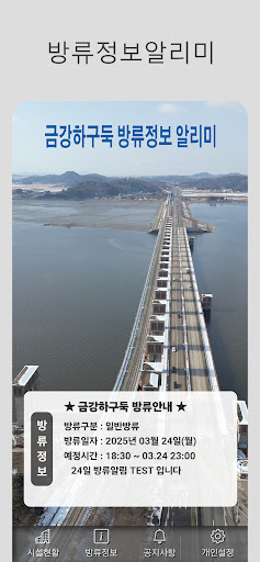
○ (Normal water level management) Manage water level within EL.+2.00m
- The water level inside the Geumgang Estuary Bank is maintained within EL+1.00~+2.00m
- When discharging water, open the gate when the tide is low (opening gate height 2m or less).
○ (Water level management in case of flood) Flood management to prevent flooding along the Geumgang River
- (Water level prediction) Refer to Baekje Bridge (Buyeo) and Geumgang Bridge (Gongju) water level rise
- (Pre-discharge) Pre-discharge when the Geumgang water level is predicted to exceed EL+2.00m.
- (Open floodgates) Open 20 floodgates 2~10m, close when sea water is high.
- (Water level control) Manage the water level so that it does not exceed the flood level (EL+4.62m) by continuously discharging water in accordance with heavy rain warnings and flood forecasts in the Geumgang River basin.
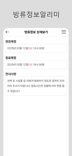
- (Accident prevention) Accident prevention and management due to high flow speed when discharging water
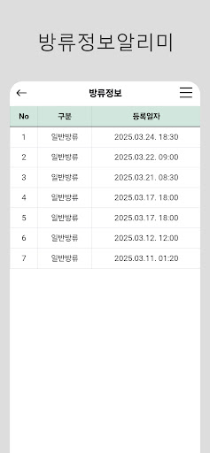
⇒ Notify related organizations, fishermen, etc. before releasing water.