OCFL Atlas
Install Now
OCFL Atlas
OCFL Atlas

OCFL Atlas

View new construction projects in Orange County from the palm of you hand

App Size: Varies With Device
Release Date: Apr 18, 2016
Price: Free
2.8
5 Ratings
Size
Varies With Device

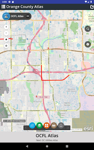
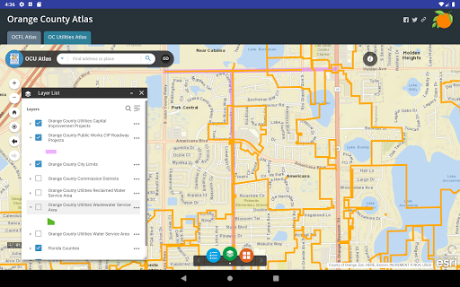
OCFL Atlas is an application that encourages citizens to become more engaged in the growth of their community by pinpointing new construction projects in Orange County. This app offers citizens the ability to access real-time development data, board meeting details and project locations. Users can zoom into their current location, search by address or pan around Orange County to see new projects. Public notification is required for development applications to ensure citizens have the opportunity to express opinions prior to a public hearing. OCFL Atlas is designed to work on most devices including desktop computers, smartphones and tablets.
Show More
Show Less
OCFL Atlas VARY Update
2020-03-26 Version History
OC Utilities: An interactive map that allows users to see current Orange County Utilities capital improvement projects, service areas, roadway projects, city limits and Commissioner district boundaries.

~Orange County Government Florida
More Information about: OCFL Atlas
Price: Free
Version: VARY
Downloads: 1251
Compatibility: Android Varies with device
Bundle Id: net.ocfl.android.ocflatlas
Size: Varies With Device
Last Update: 2020-03-26
Content Rating: Everyone
Release Date: Apr 18, 2016
Content Rating: Everyone
Developer: Orange County Government Florida


Whatsapp
Vkontakte
Telegram
Reddit
Pinterest
Linkedin
Hide