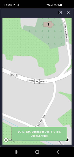
Mobile GIS application that allows the citizen to interact with Bughea de Jos City Hall by interacting with the map. Provides visualization and updating of data by geospatial referencing. All its features are available on top of a wide range of online maps and WMS.
citizen
• receives real-time updates on the status of registered complaints
• positioning of the notification on the map
• identification on the map of public information made available by the City Hall through public maps
• viewing the information related to the desired geospatial object
paper
• wide range of maps
• support for WMS sources
• support for MBTiles
Tools and features
• measuring distances and areas
• style editing and text tags
• organizing data into layers and projects