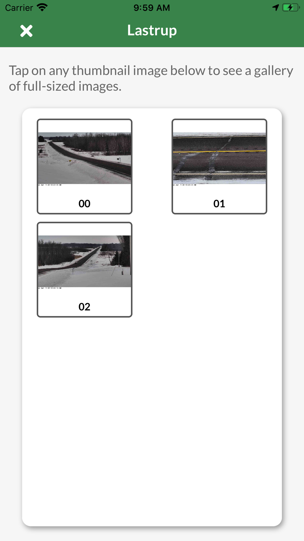
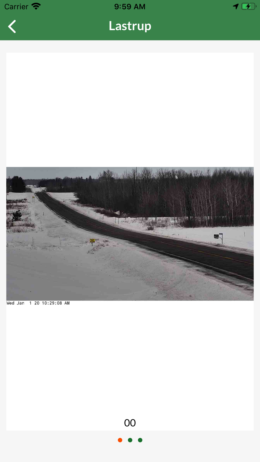
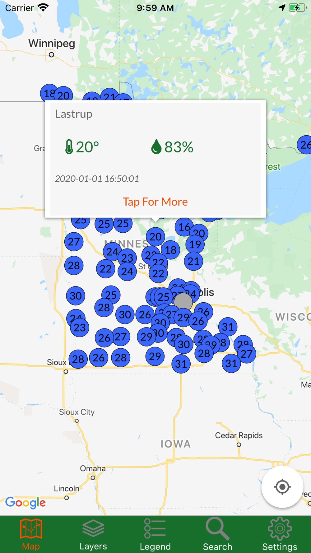
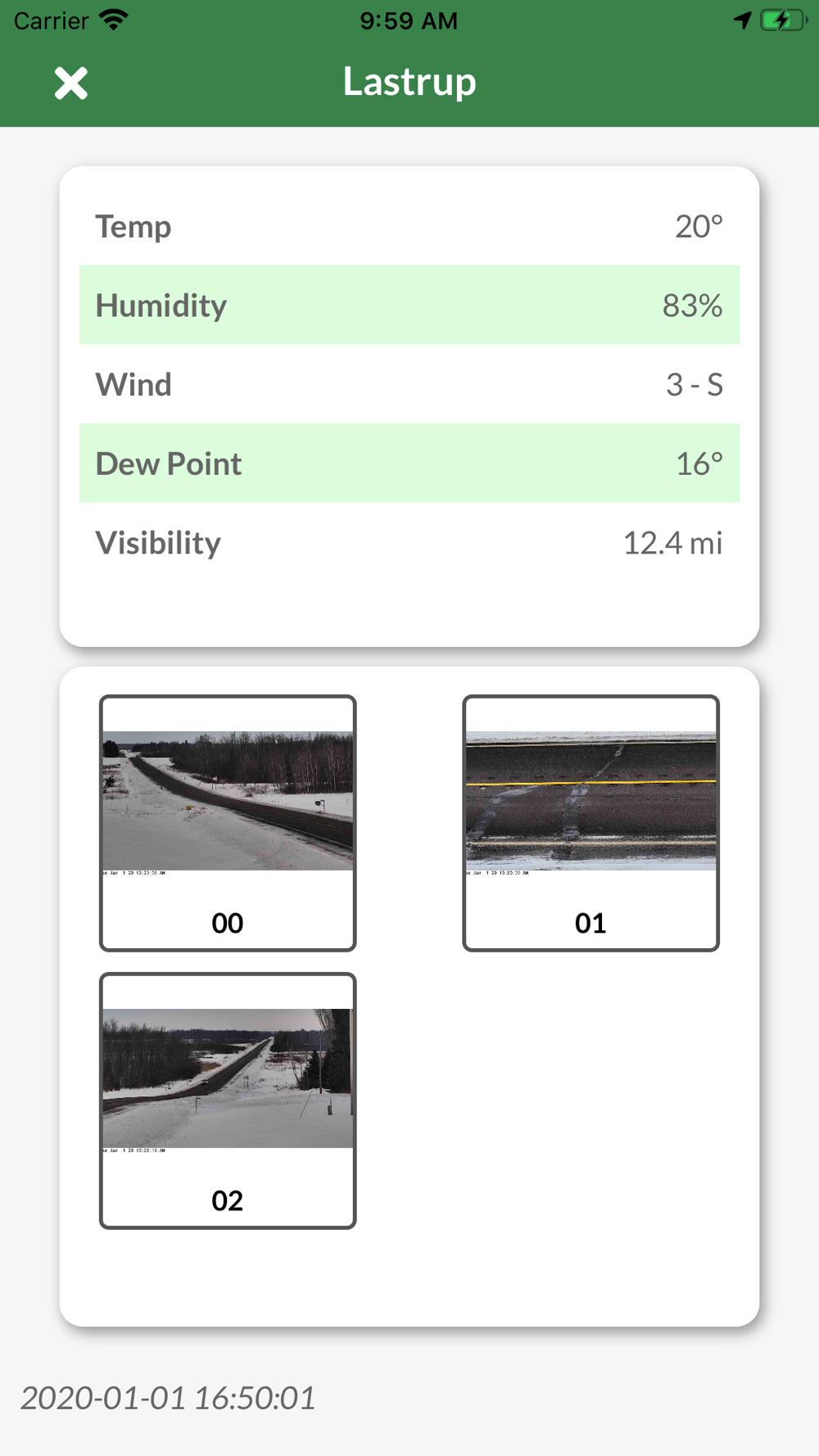
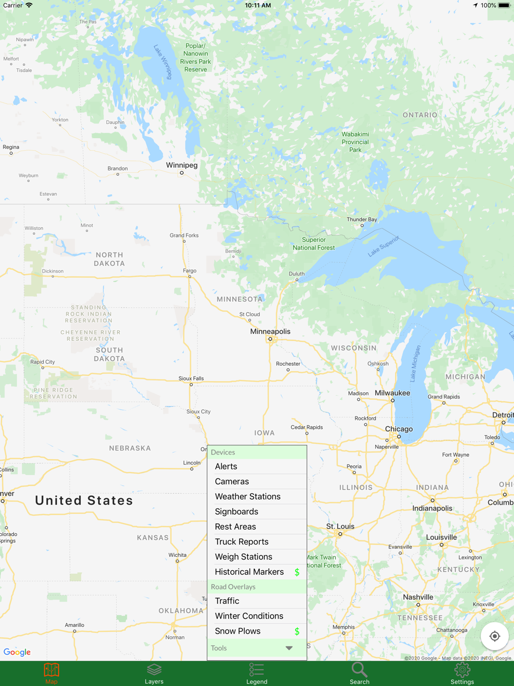
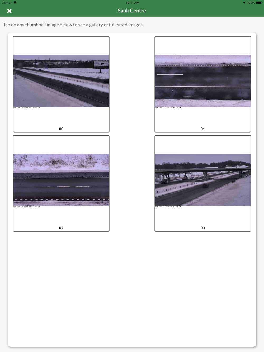
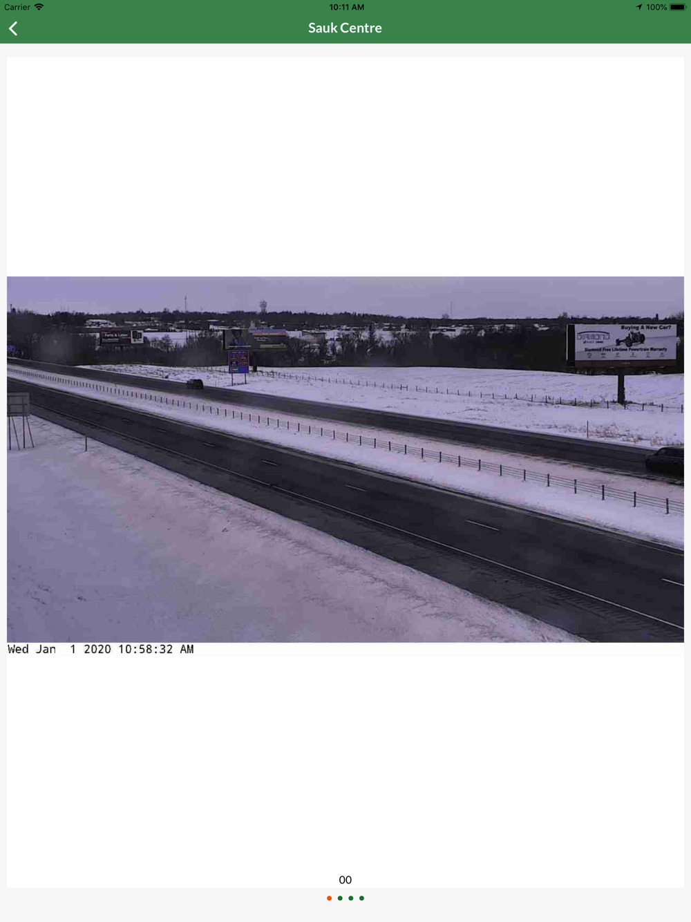
Minnesota Traveler shows you the current status of major roads and highways throughout the state. By accessing Minnesota Department of Transportation extensive road data, you can view traffic cameras, read alerts about construction and other road-related issues, get stats from weather stations, and see road conditions. For a small charge, you can also view flooded areas, snow plow paths and photos, and trucker reports like locations of roundabouts and weight restrictions. Also available is Google Traffic, just so you have all the data in one app.
All of this is displayed on a map with ease of use for panning and zooming. Only interested in certain areas? You can define your own regions and quickly view them, or use one of the several predefined areas.