Stay informed and safe with the official app from the Civil Aviation Authority (CAA) of Oman.
This comprehensive, user-friendly application provides real-time weather, marine, and tsunami information across Oman, directly from the authoritative source. Designed with the needs of both the public and professionals in mind, the app offers advanced features using interactive, zoomable maps of Oman to make data easily accessible and understandable.
Key Features:
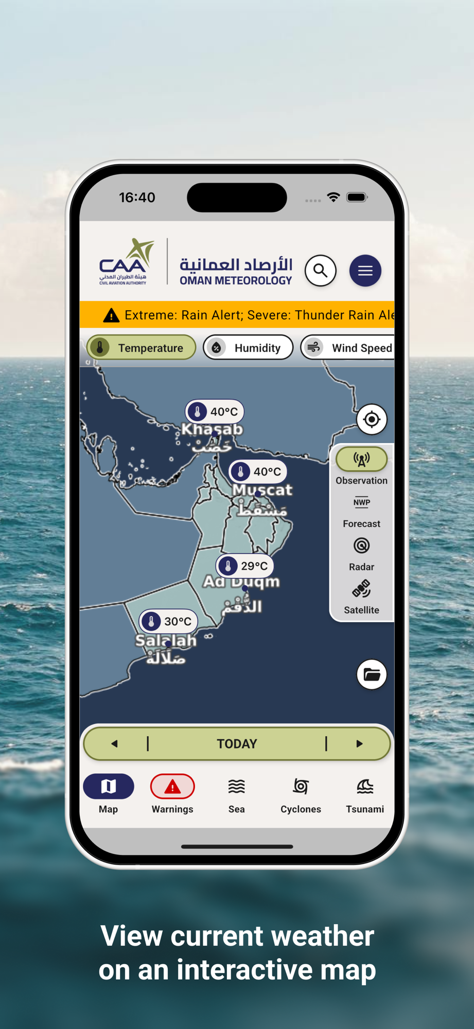
— Live Weather Station Data
Access up-to-the-minute observations from official meteorological stations across the Sultanate, including temperature, humidity, wind speed, rainfall, and more.
— Cyclone Modeling and Forecasting
Track tropical systems affecting the Arabian Sea and beyond with cyclone model outputs to stay ahead of developing threats.
— Weather Forecast Models & Meteograms
View dynamic animations from the latest weather prediction models and station-based meteograms to understand upcoming weather patterns in a detailed, visual format.
— Official Bulletins and Alerts
Receive official meteorological bulletins, warnings, and forecasts directly from Oman’s Civil Aviation Authority — your trusted source for reliable weather information.
— Map-Based Warnings with CAP Integration
View area-specific warnings generated through the Common Alerting Protocol (CAP), displayed intuitively on an interactive map interface.
— Marine Observations & Models
Monitor marine conditions with data from coastal stations, plus model animations for sea state, wave height, direction, surface winds and other key parameters critical to marine safety.
— Tsunami Information
Stay informed about tsunami alerts within Oman and the surrounding region.
— Interactive Zoomable Maps
Explore Oman’s weather and hazard data through a fully interactive, high-resolution map system. Pinpoint your location or navigate by region to view localized information quickly and easily.
Why Choose This App?
Trusted Source: Developed and maintained by the Civil Aviation Authority of Oman, ensuring the highest level of accuracy and reliability.
User-Friendly Design: Built for simplicity, speed, and clarity — ideal for both professionals and the general public.
Multi-Hazard Integration: Combines weather, marine, and tsunami monitoring in one unified platform.
Real-Time Data: Offers timely updates, ensuring users are informed of current and upcoming hazards.
Whether you're planning a trip, monitoring a storm, navigating coastal waters, or staying alert to tsunamic risks, this app equips you with the tools and knowledge to make informed decisions — all from a single, official source.
Download the official CAA Oman app today and experience the power of real-time environmental awareness in your hands.