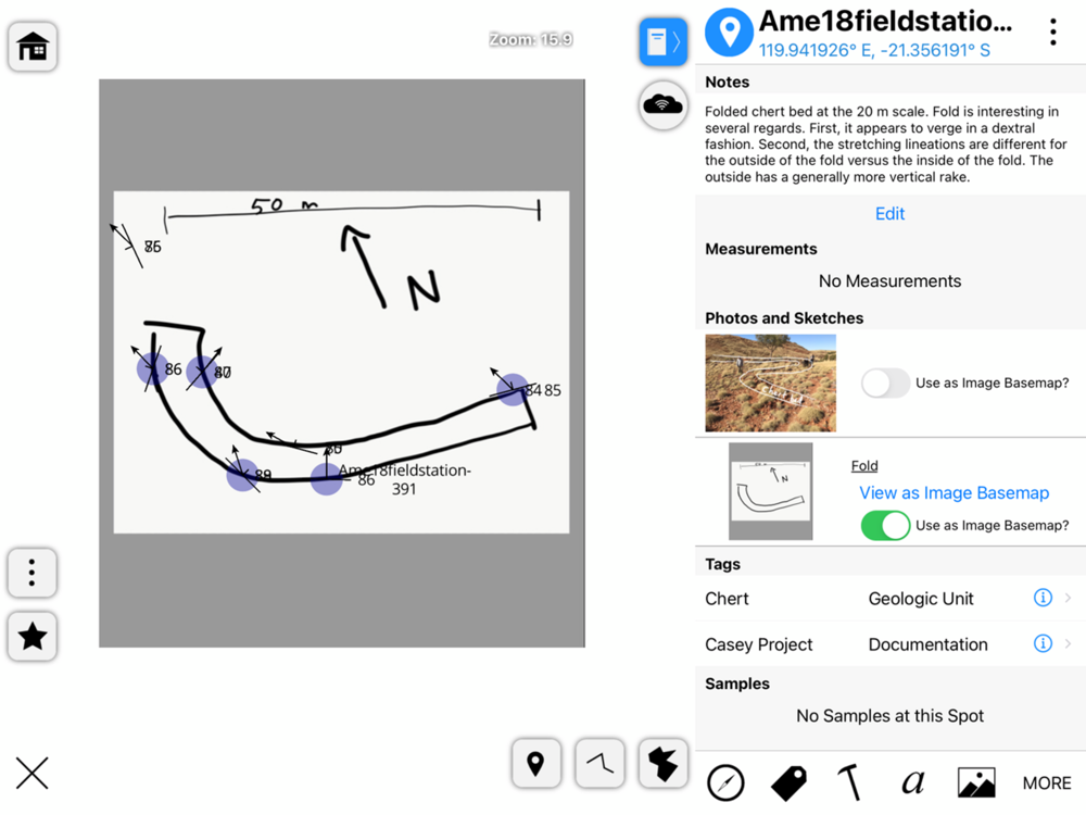
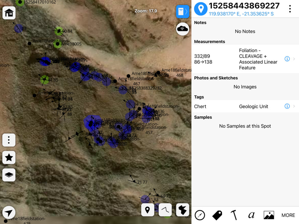
StraboSpot2 is a sophisticated tool for collecting data during geological fieldwork. Data are organized spatially into Spots or conceptually using Tags. A spot is a point, line, or polygon that contains geologic data. Spots can be spatially referenced by your device’s GPS, Drawn manually onto the map, or can be referenced on images that you take in the field. Tags are flexible data or interpretations that apply to many spots over a varied spatial extent. Examples of tags are geologic units, metamorphic grade, or fold generations.
StraboSpot2 integrates with the StraboSpot digital data system, an open-source database for field geologic data funded by the National Science Foundation. All data collected in StraboSpot2 can be easily uploaded to your Strabospot.org account, or it can be exported locally to your device’s file system.
You can add custom basemaps or overlays to your StraboSpot2 project using the StraboSpot My Maps tool at strabospot.org, mapwarper, or MapBox Studio. Custom basemaps as well as the built in basemaps can be downloaded for offline use.