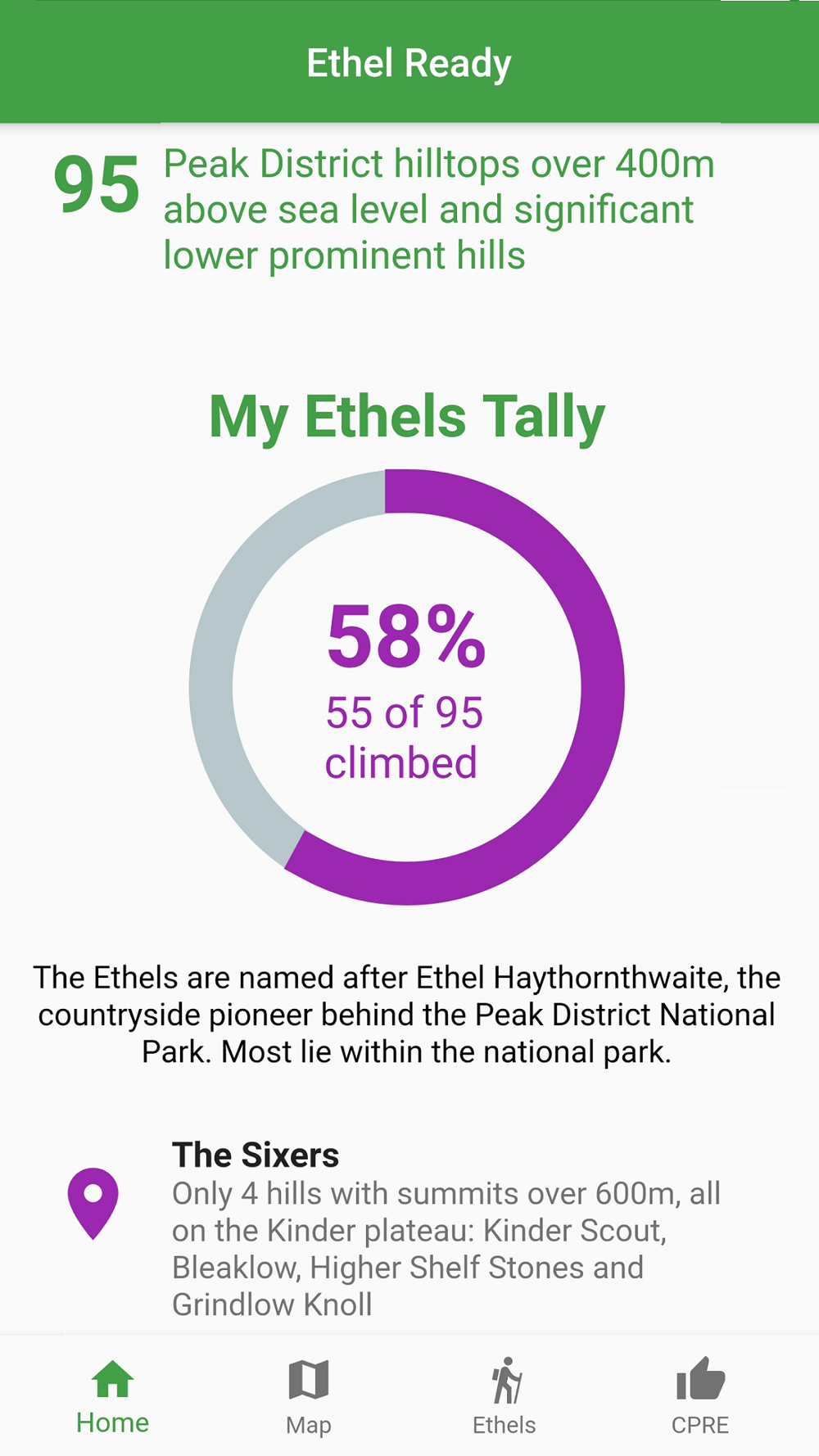
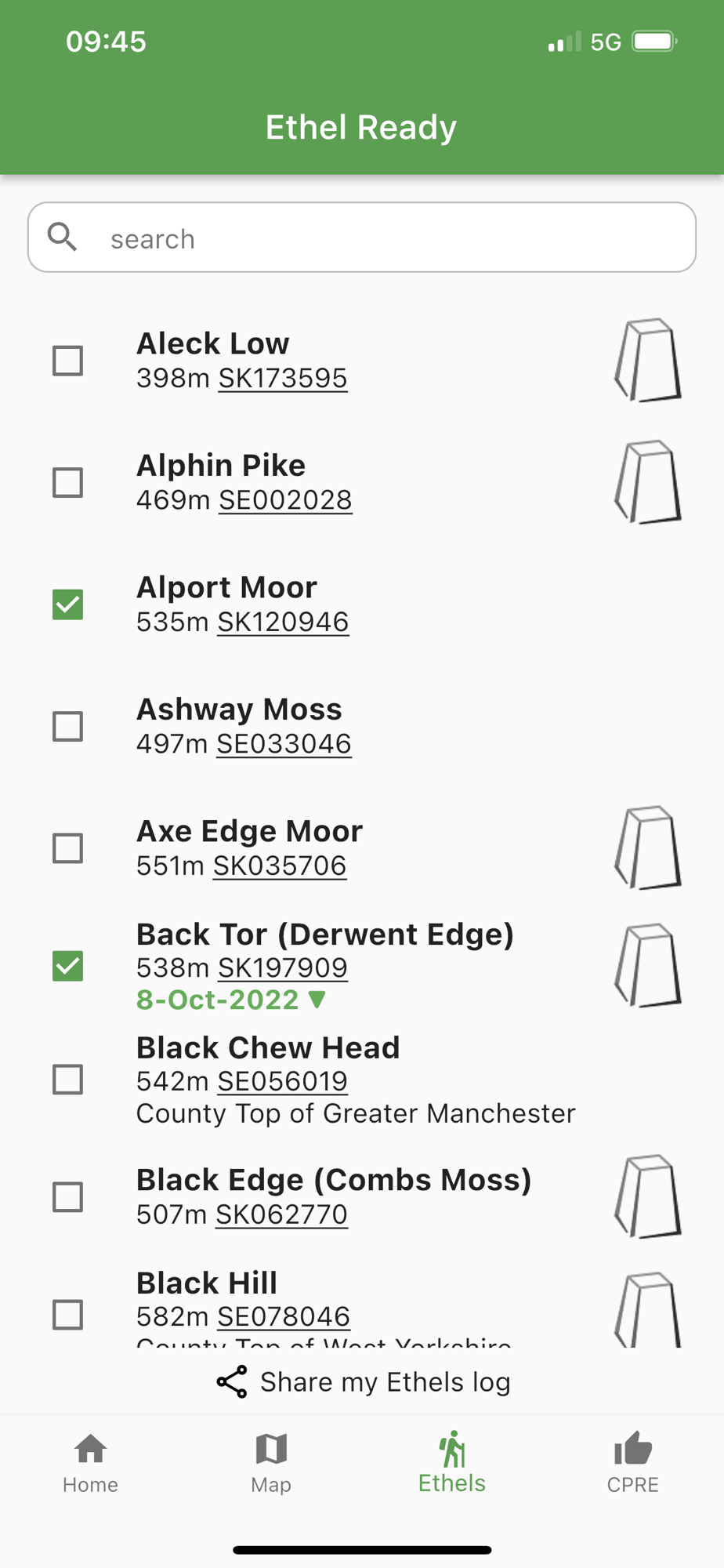
Named after Ethel Haythornthwaite (the pioneer behind the Peak District National Park), the Ethels are all of the Peak District hills over 400m above sea level and significant lower prominent hills. Fewer, lower, easier and (for most of the UK's population) closer than the Munros of Scotland and the Wainwrights of the Lake District.
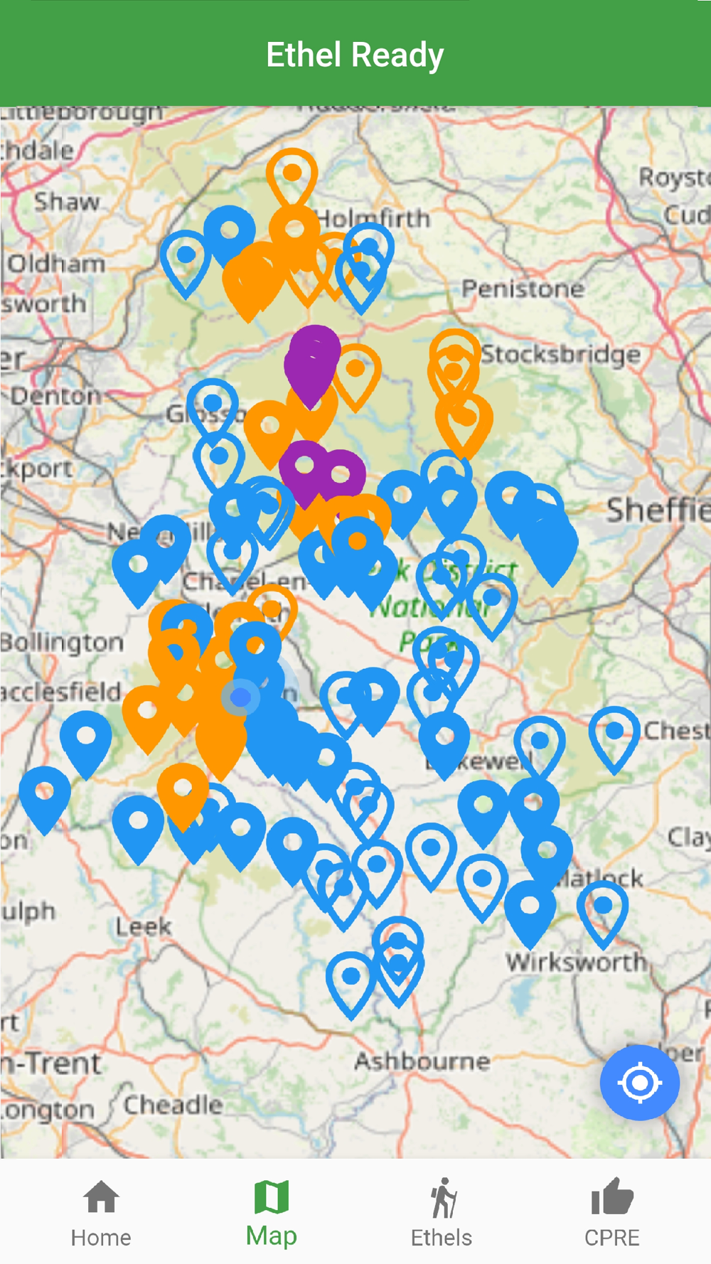
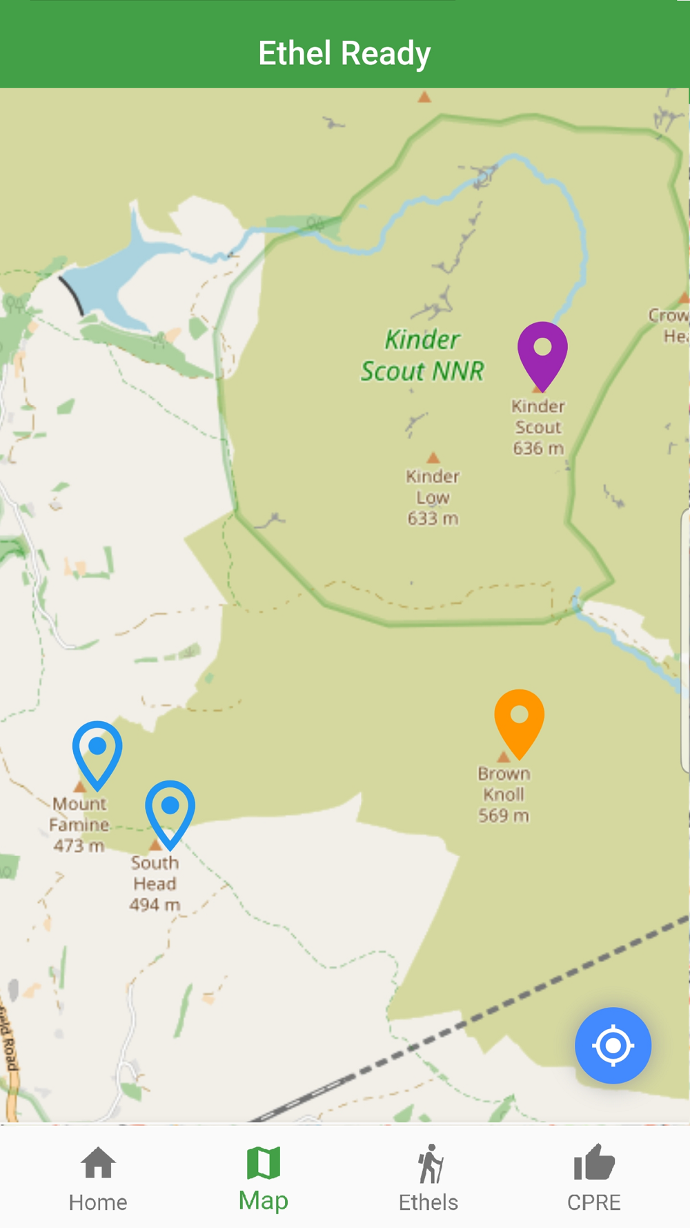
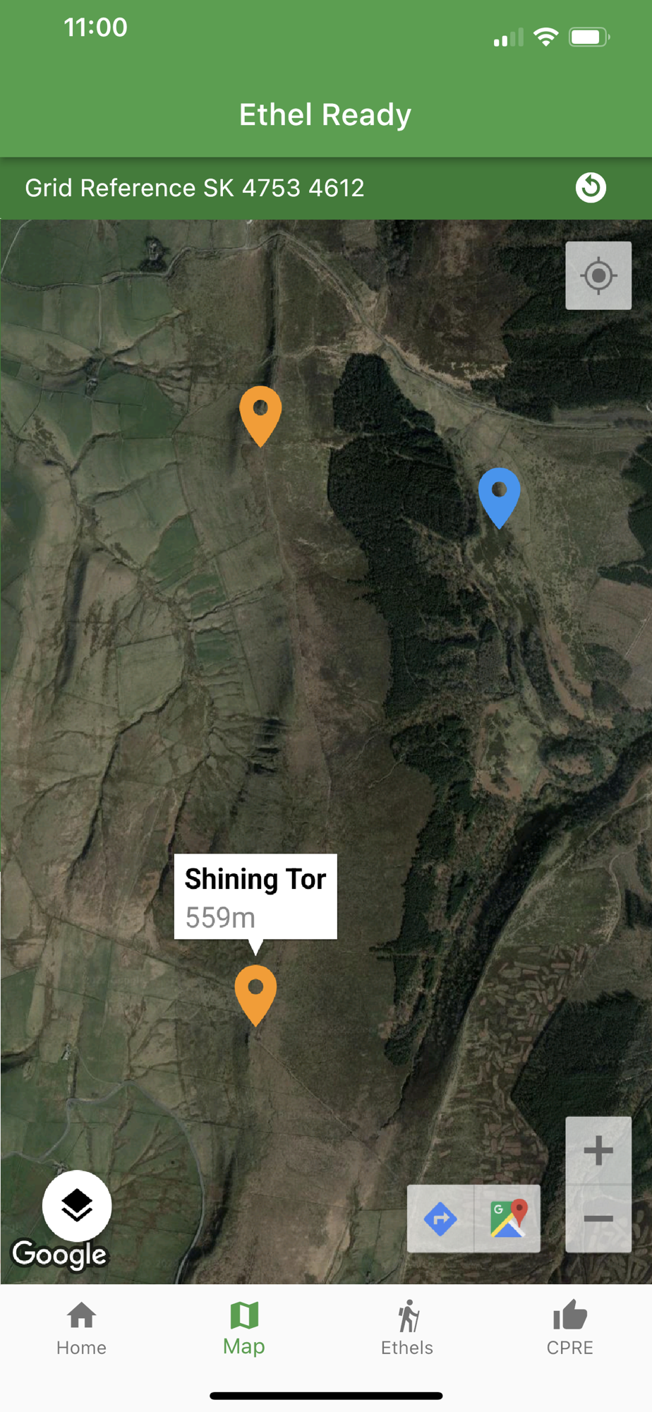
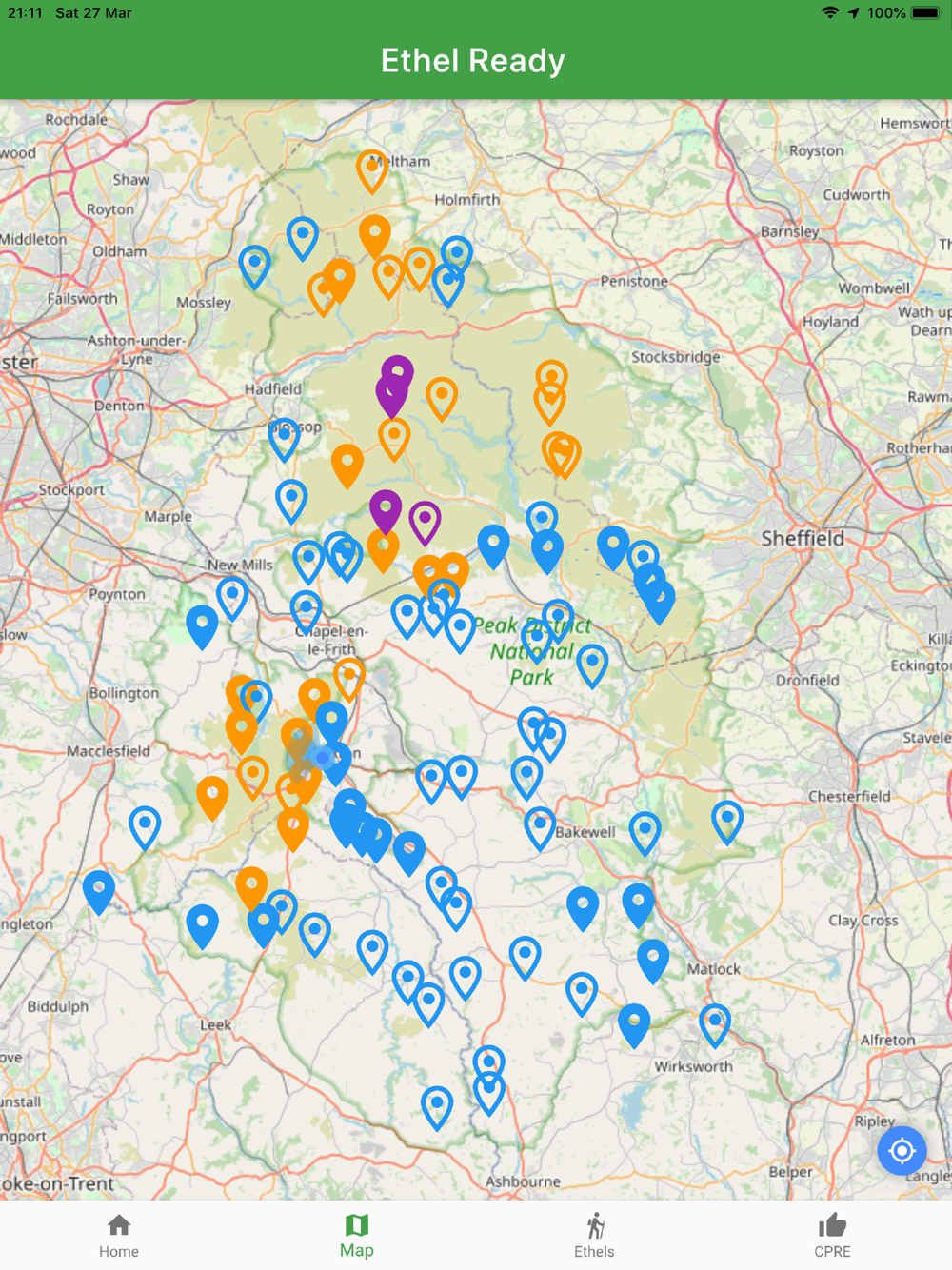
Explore the highest hills of the Peak District. Track your progress through your own dated log and by using the interactive map from OpenStreetMap.
Featured on BBC TV and Radio 4
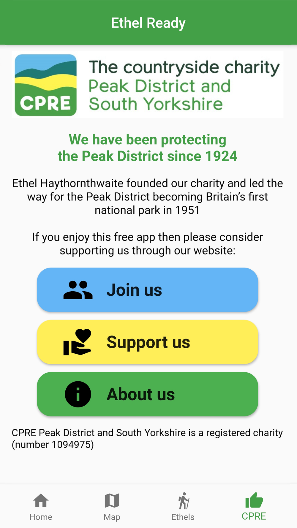
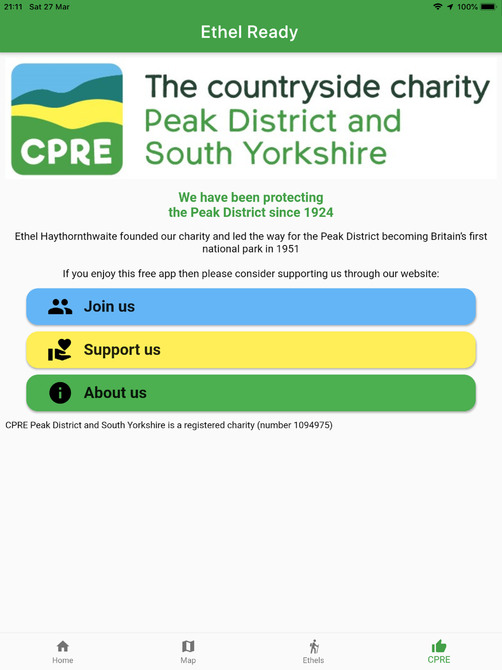
The app is supported by the Peak District and South Yorkshire Branch of the Campaign to Protect Rural England (Registered Charity Number 1094975). The app provides links to the charity's website if you want to make a donation or pay for membership.
Base map and data from OpenStreetMap and OpenStreetMap Foundation
© OpenStreetMap contributors © OpenTopoMap
All images are subject to copyright © 2021 Doug Colton (or are used through Creative Commons Licence).