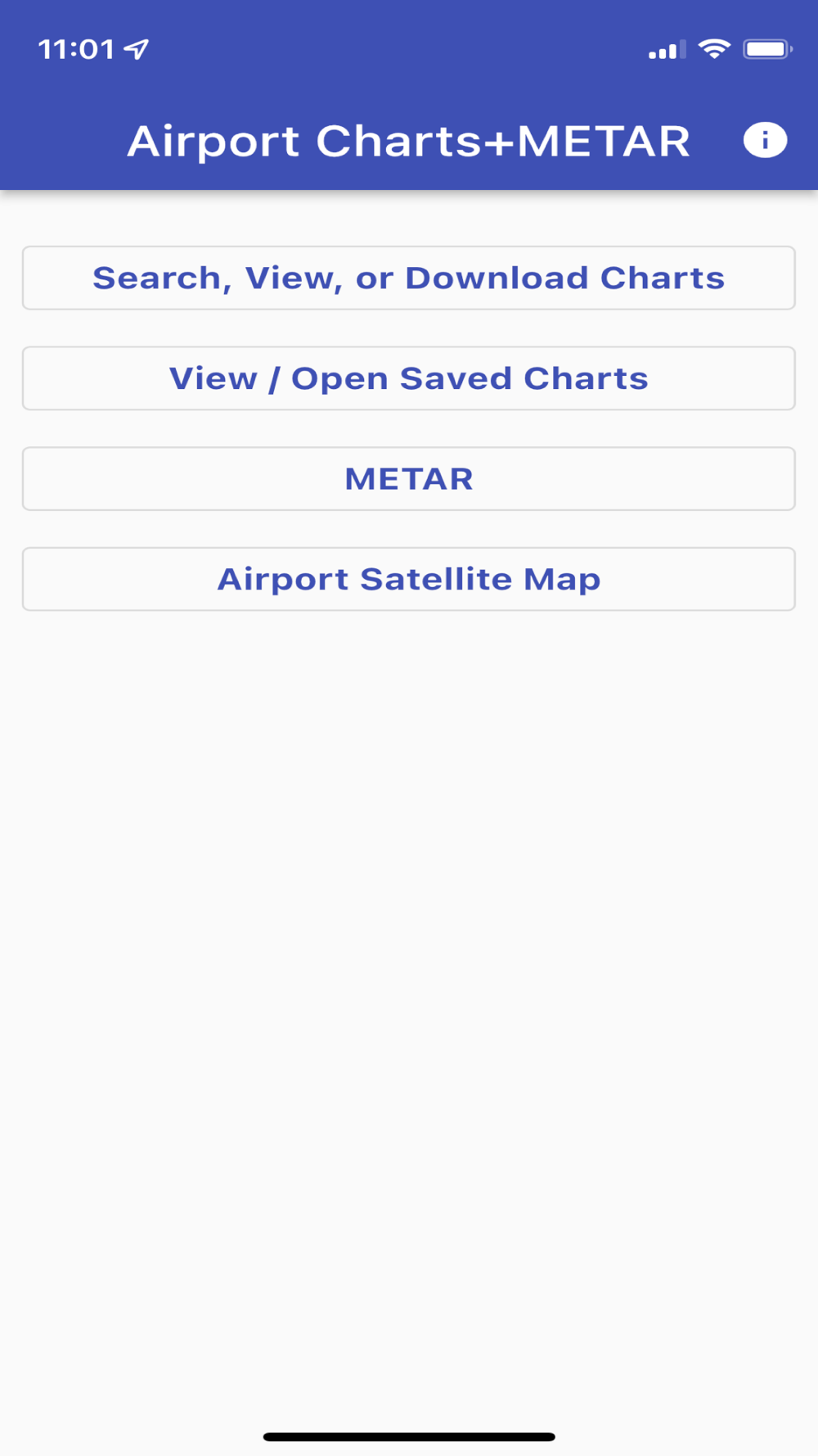
A minimalist designed, easy to use app to retrieve, view, and download FAA airport charts and diagrams as well as live METAR data and satellite maps. Ideal for flight simulation or other flying scenarios.
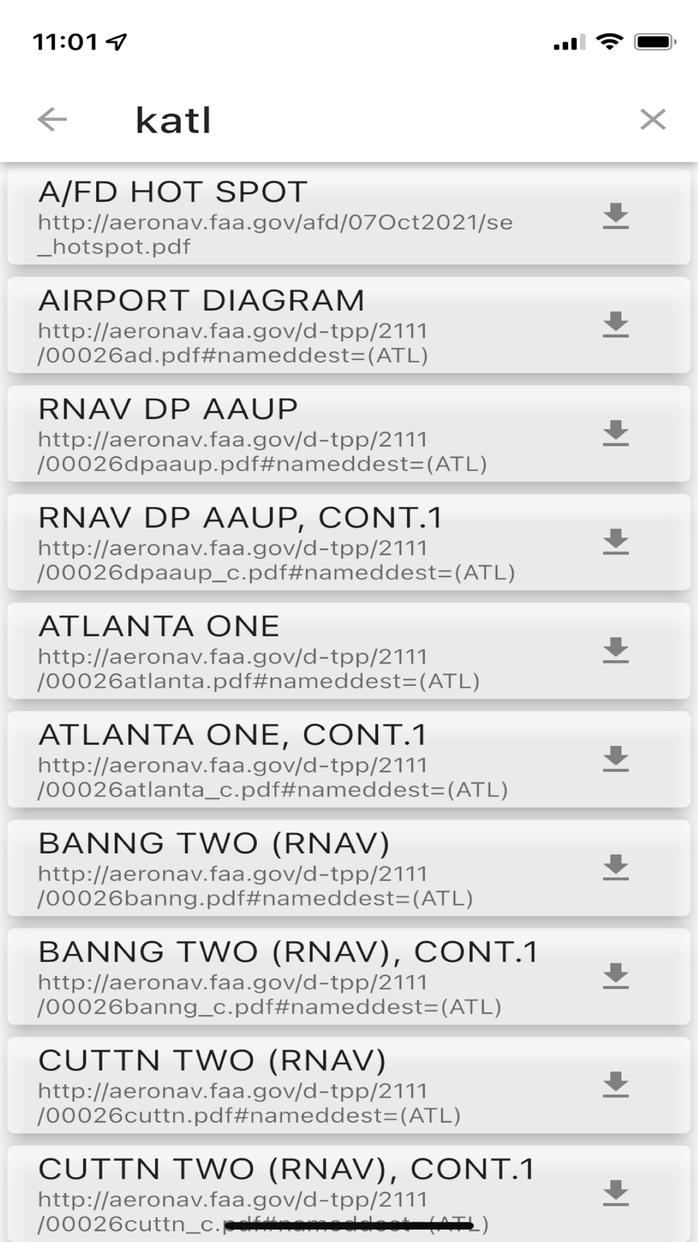
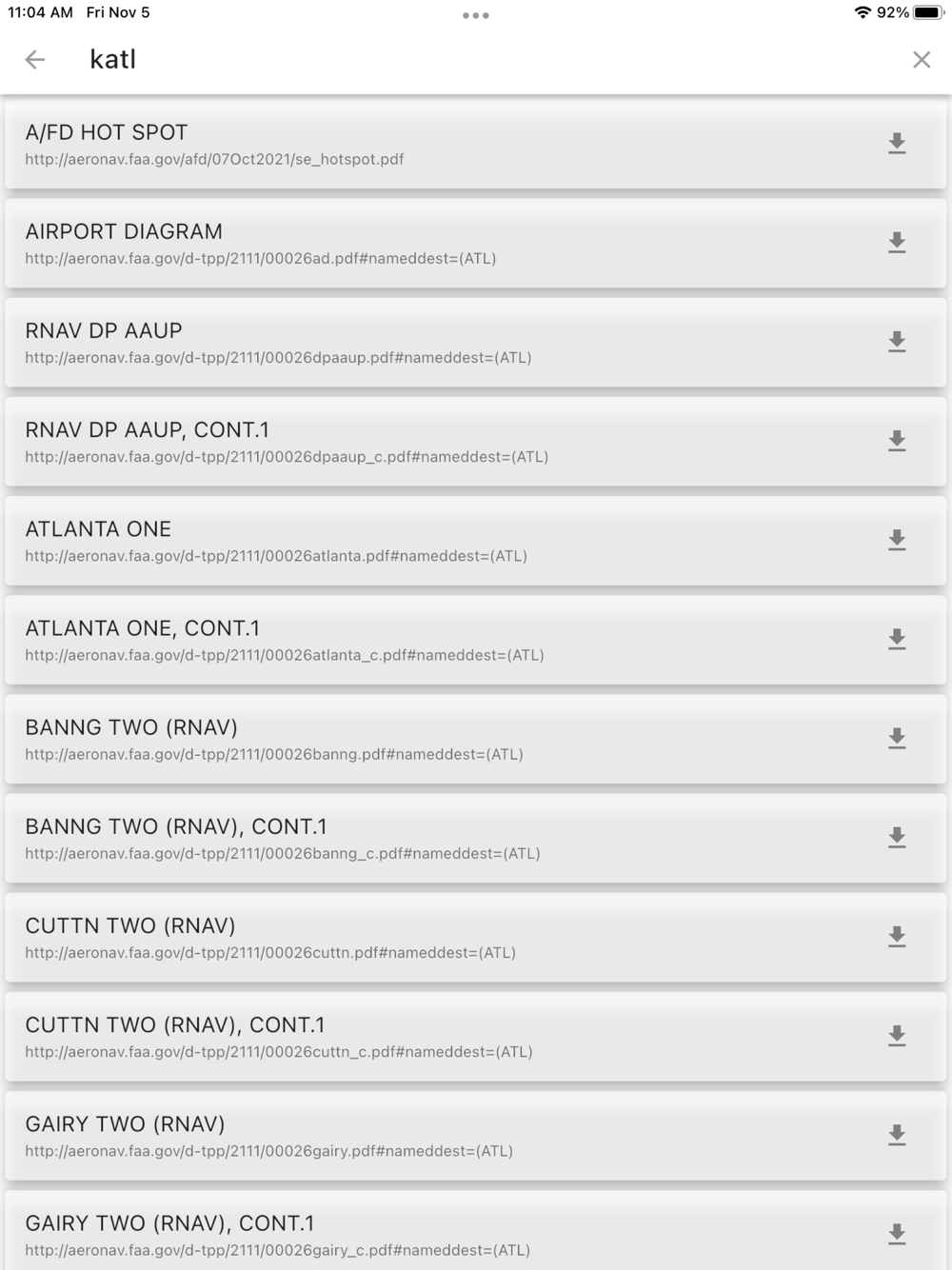
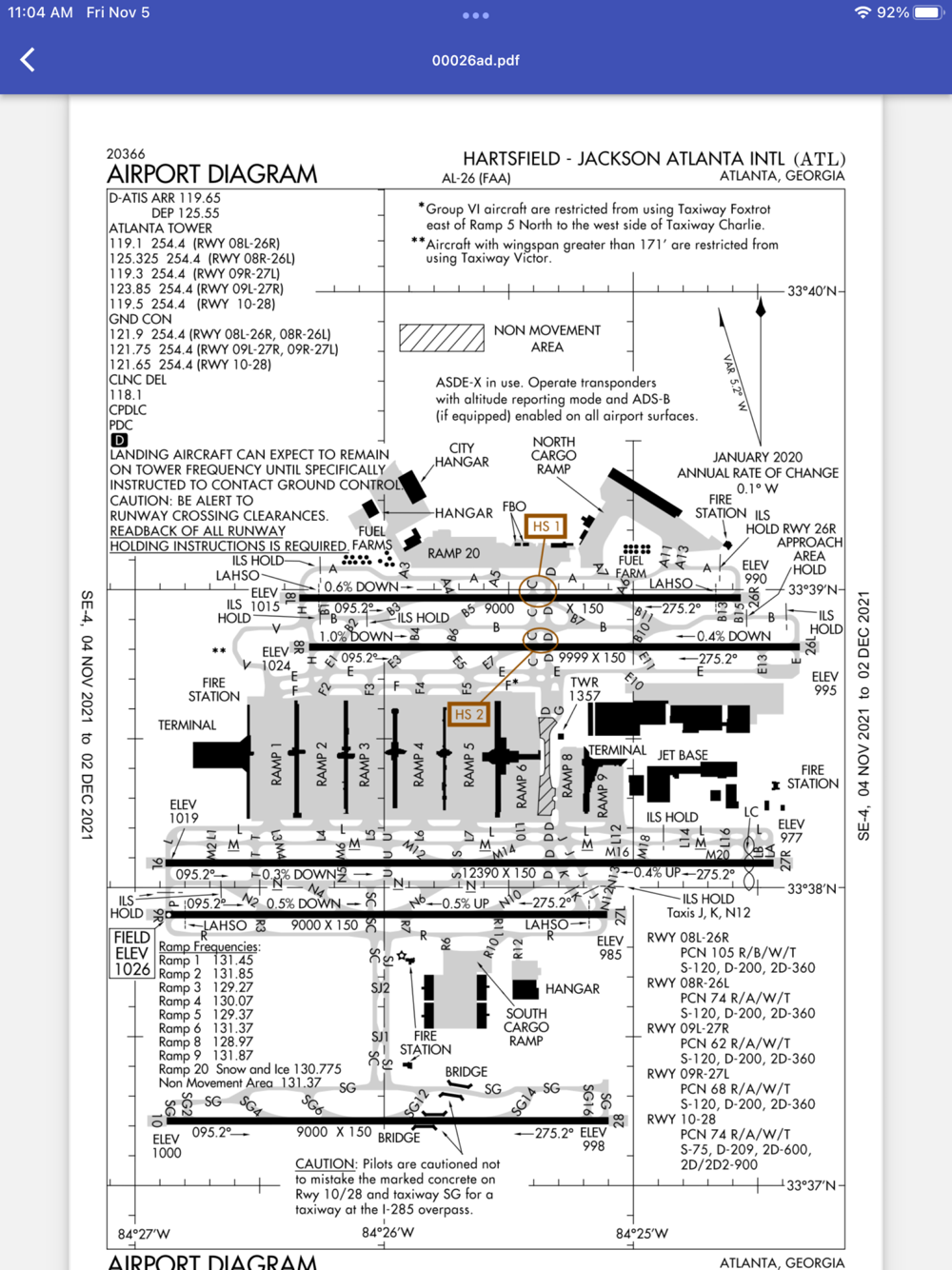
Airport diagrams are from the FAA and are available for the United States only. METAR data is pulled live from Aviation Weather. METAR and satellite maps are world wide. Airport lookup is by ICAO code only.
Since the data is live, an internet connection is required (wifi or cell data).
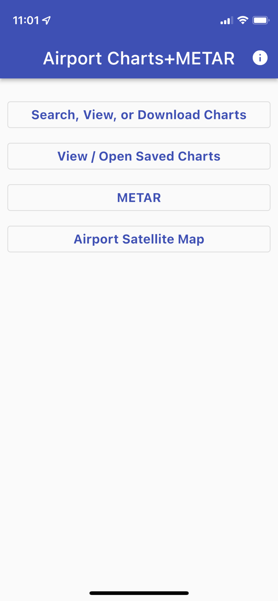
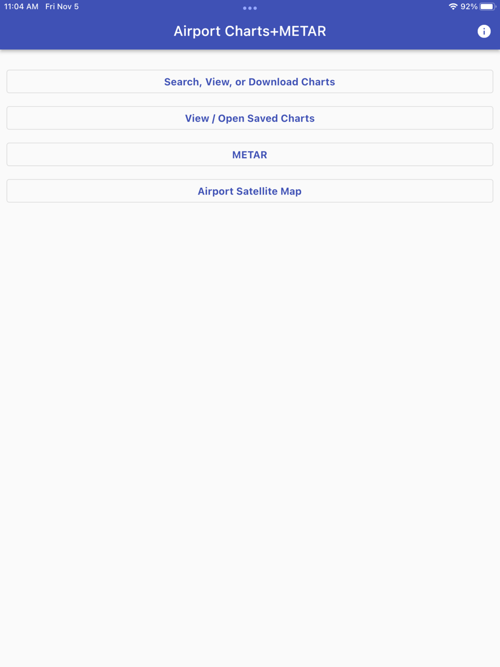
Features include:
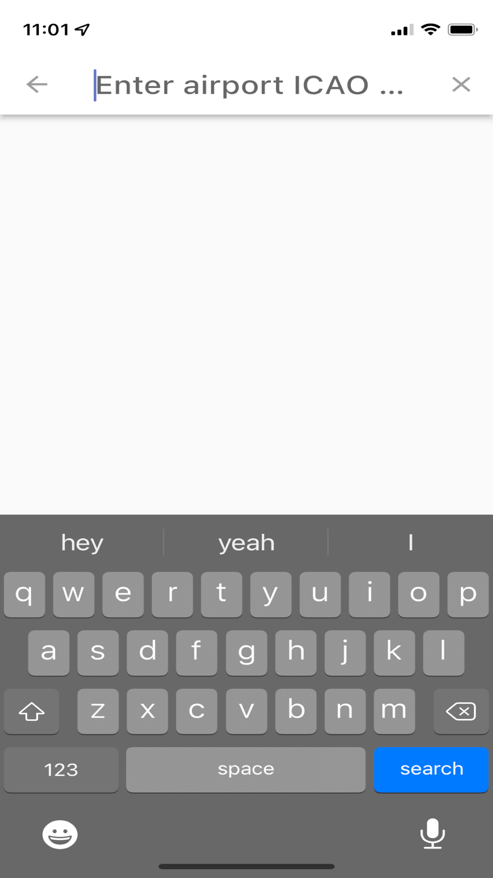
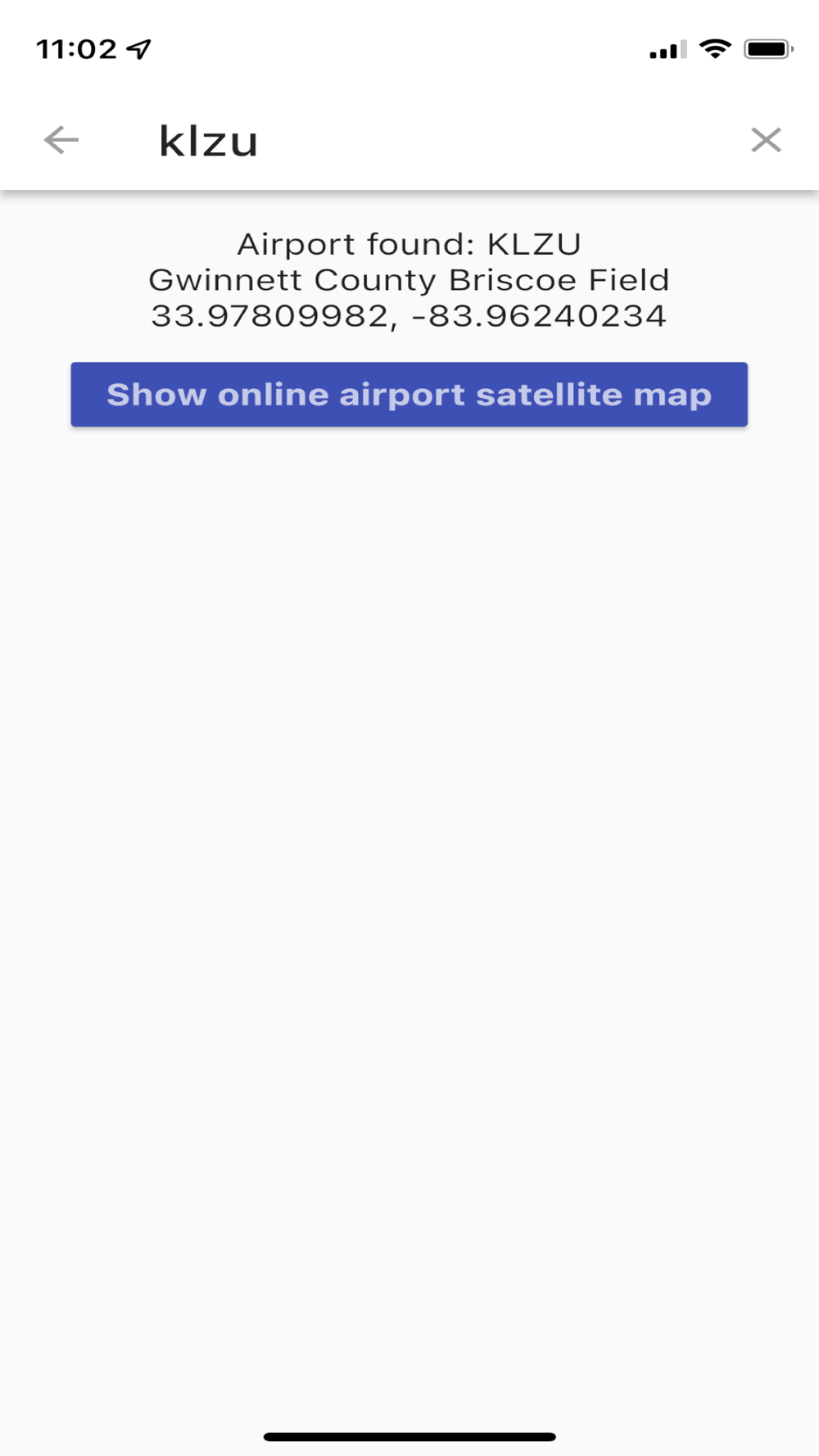
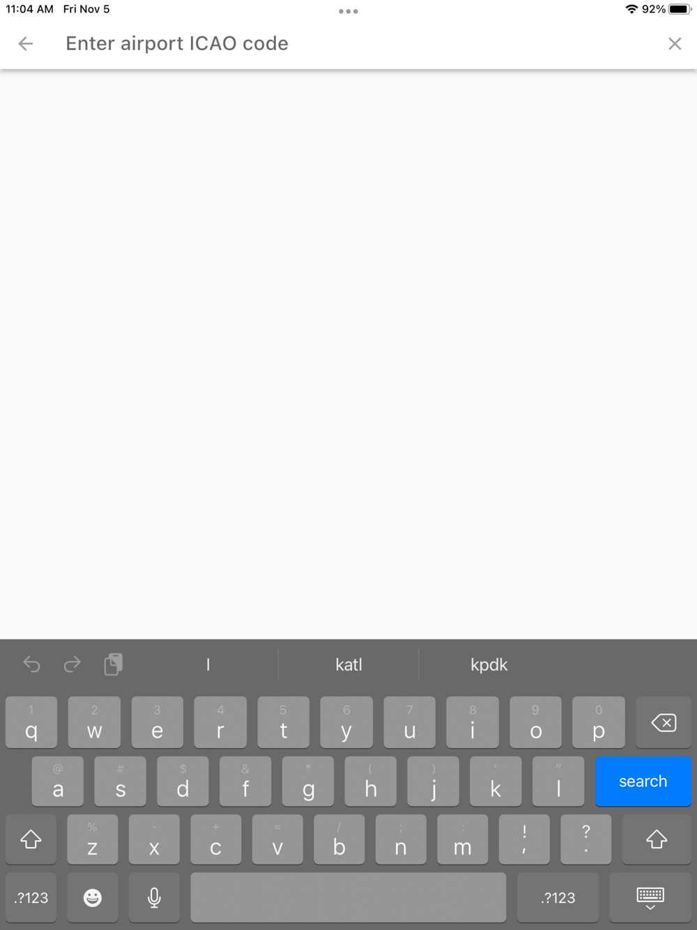
Look up airports by ICAO code
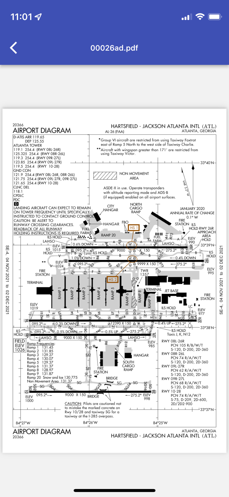
View airport charts in the app
Download FAA airport charts
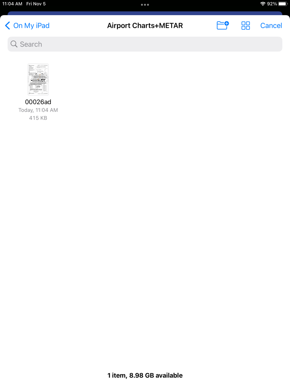
Airport charts are saved to the device's files folder
View downloaded / saved charts (internet access is not required)
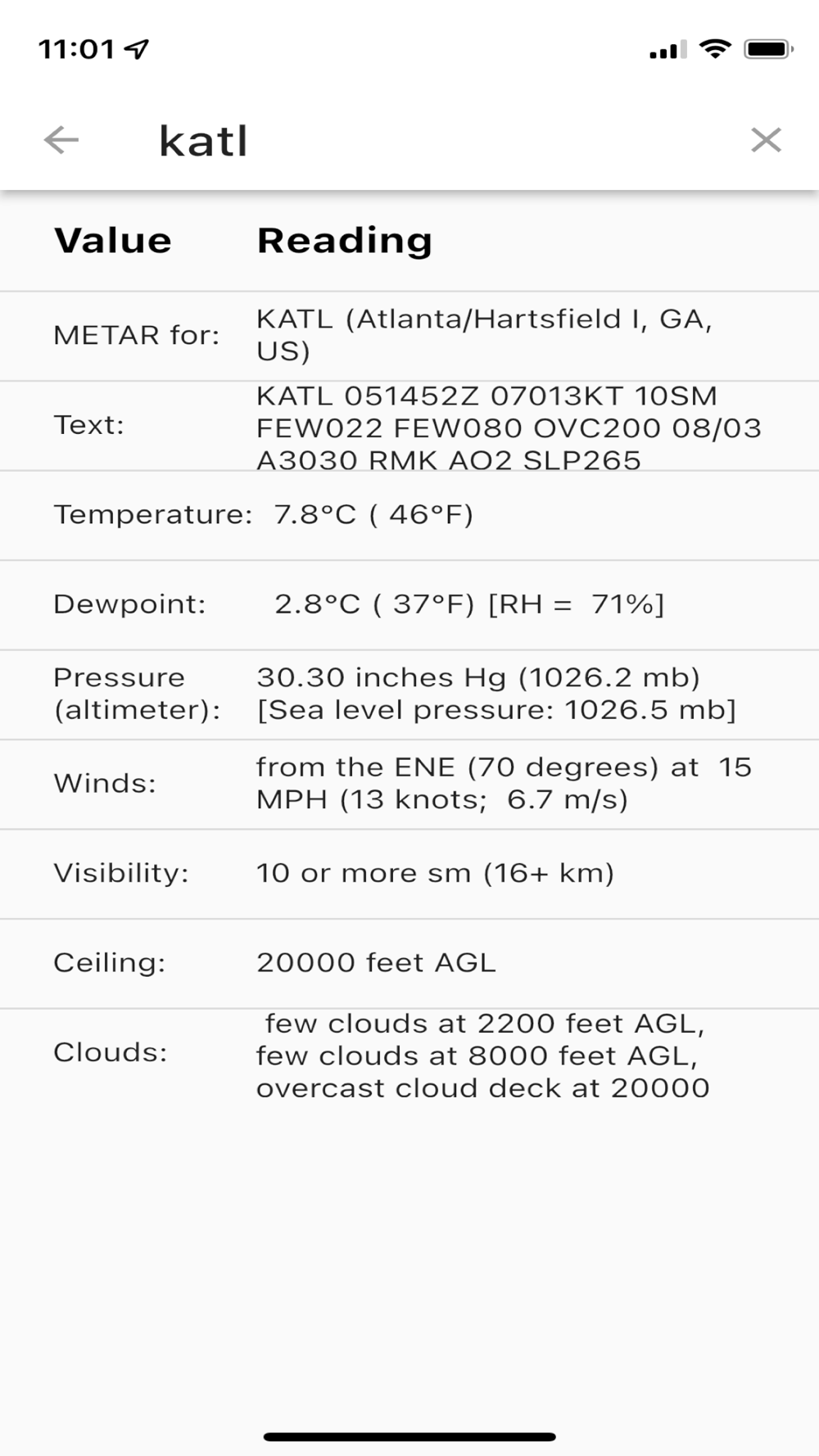
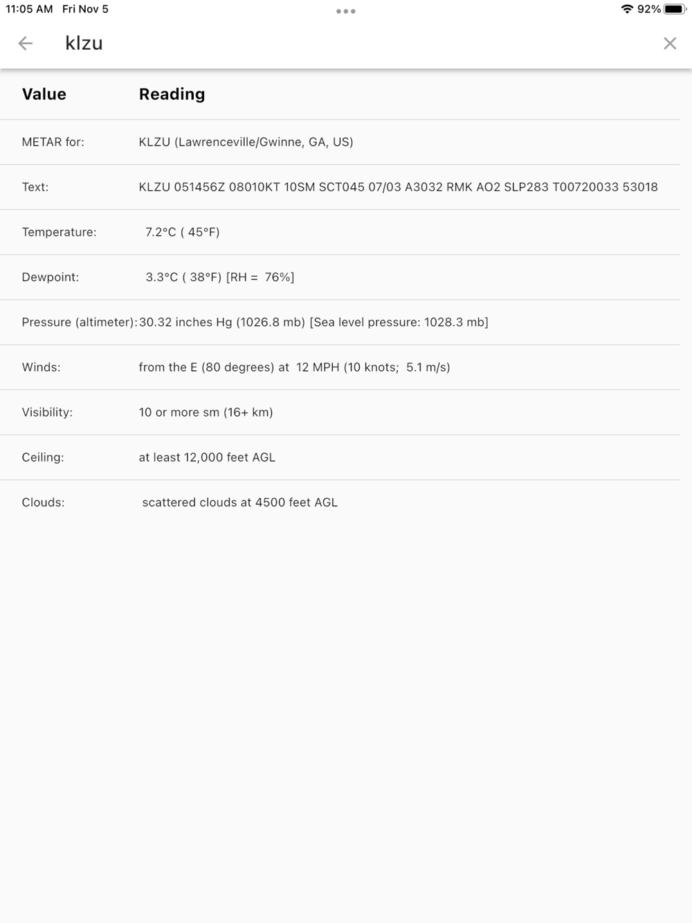
View airport METAR data including:
Text / encoded METAR
Decoded METAR with:
Temperature
Dewpoint
Pressure
Winds
Visibility
Ceiling
Clouds
Airport satellite map (zoom in/out)
Note. The developer is not responsible or liable for any accidents resulting in the use or misuse of this app.