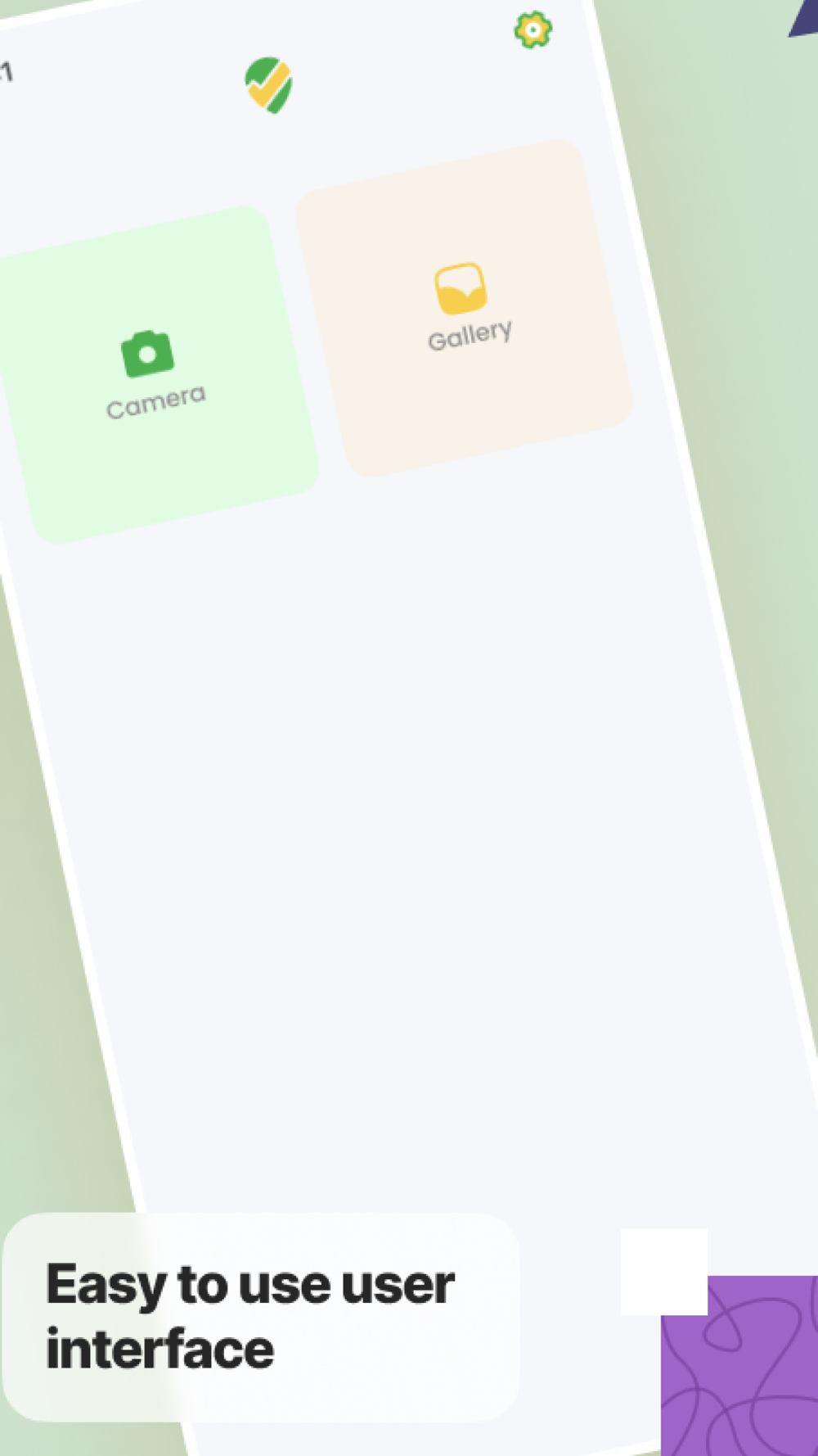
Enhance your photography experience with GeoTag Cam, the ultimate GPS camera app that integrates seamlessly with Google Maps to geotag your photos. Whether you're a traveler, adventurer, or professional, our app ensures every picture you take is tagged with precise location details and timestamps.
Why GeoTag Cam?
Travel Documentation: Perfect for travelers wanting to document their journey with precise location stamps.
Professional Use: Ideal for real estate agents, journalists, and field workers who need accurate geotagged photos.
Easy Sharing: Share your geotagged photos with friends, family, or colleagues with ease.
Download GeoTag Cam today and never lose track of where your photos were taken. Whether you’re exploring new cities or documenting work sites, our app ensures every memory is accurately recorded and easy to find.
Privacy Policy & Terms of Use:
Privacy policy: https://sites.google.com/view/gps-map-camera-to-geotag-photo/privacy-policy
Terms of Use: https://sites.google.com/view/gps-map-camera-to-geotag-photo/terms-conditions