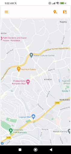
SavannaGSI is an app for internal use by Savanna Fibre Limited to review and analyse geospatial data related to its business. It can be used to list areas covered by the business as well as physical installations, or display markers for the same on a map, where the coordinates are available.
The app also allows visualisation and analysis of business coverage by displaying maps pre-uploaded to an internal repository as kml files. This includes overlaying multiple maps to highliht overlaps or gaps, among other absolute and relative metrics.
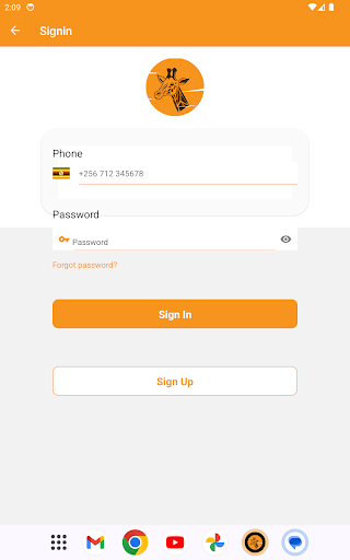
The features are only accessible to users who have been pre-authorized by Savanna Fibre system administrator.